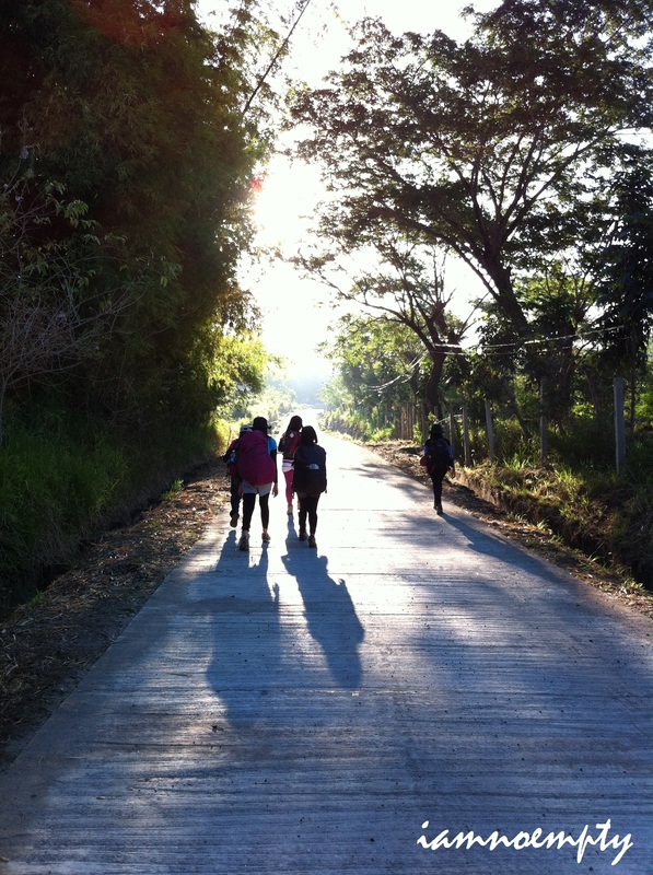
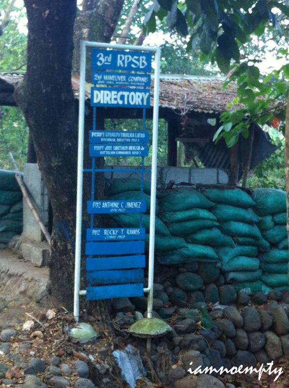
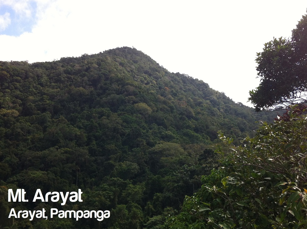
 Mt. Arayat - Magalang Traverse (3,385 feet above sea level) An inactive stratovolcano located between the town of Arayat and Magalang in Pampanga. 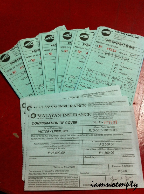 6 people na walang magawa for the weekend. A climb prior joining the Balloon Festival in Angeles City. We hopped a bus (Victory Bus - Pasay) going to Pampanga but accidentally missed our 2.30am trip due to some schedule mishap. We left Manila at around 4.00am and our supposed to be drop off was SM San Fernando but due to miscommunication with the Bus conductor we missed SM and dropped ourselves off to a nearby Chowking Store. Tricycles were all lined up waiting for some passengers then a driver offered his tricycle to bring us to the Jump Off point (Brgy. Ayala). There were haggles for fare and we ended up paying Php 400.00 for 3 people per tricycle. Going to Brgy. Ayala possibly covers at least an hour due distance. We headed to the Brgy. Hall for registration and hire a guide if available, however the Office was closed and only opens at 8.00am. The group decided to pursue the climb without any guide at all. 5 of us were first timers for Mt. Arayat so we solely put our fate to 1 member, hopes as high as Mt. Arayat if she can still remember the trek.
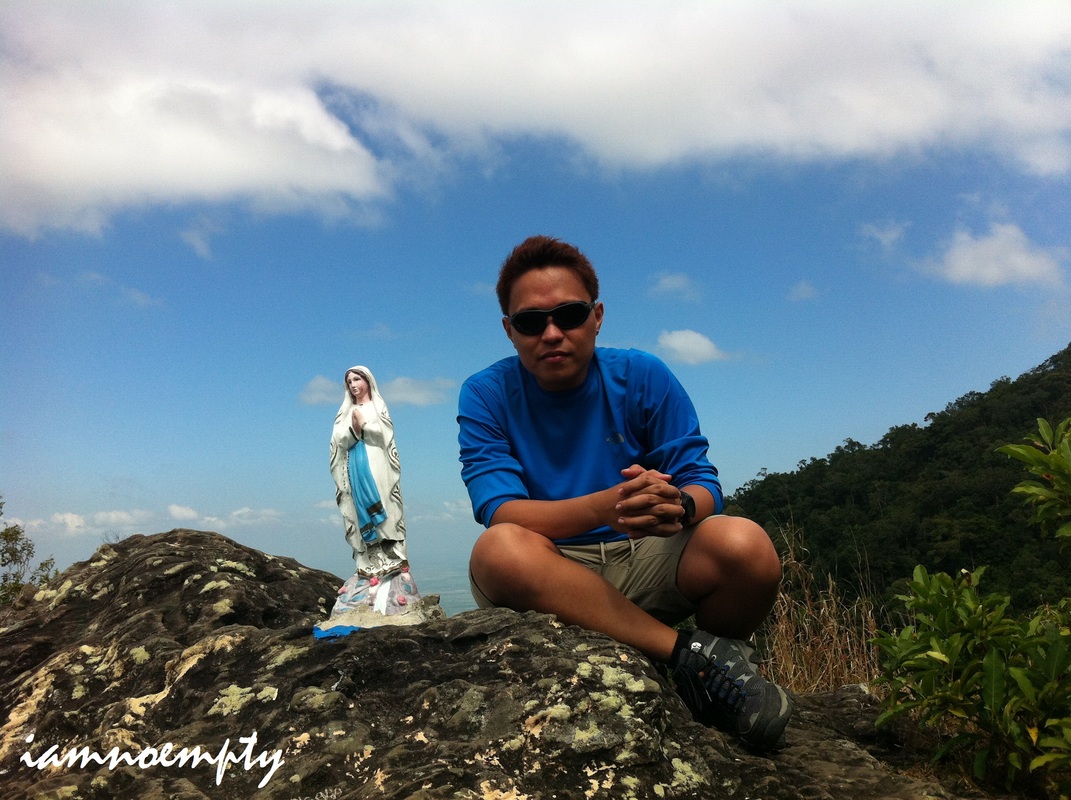
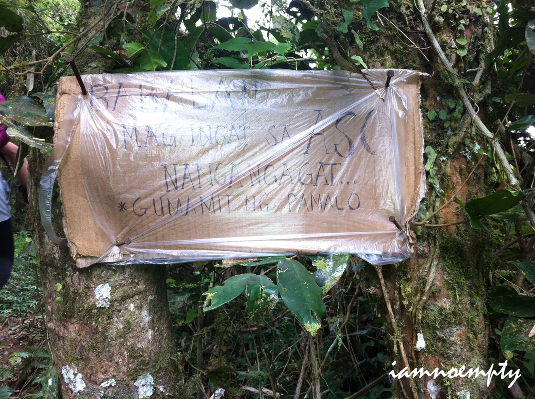
 The Last Supper Walking to a cemented path, mapapansin mo na ang lugar ay parang kinoconvert into a "Holy Week" tourist spot specially for our Catholic friends. Stations of the Cross with corresponding statues are currently being build. We saw a lot of drilling and shoveling. The project is promising for devotees and I took my chance to posed at Station 1, the only station "fully-furnished" at that time. 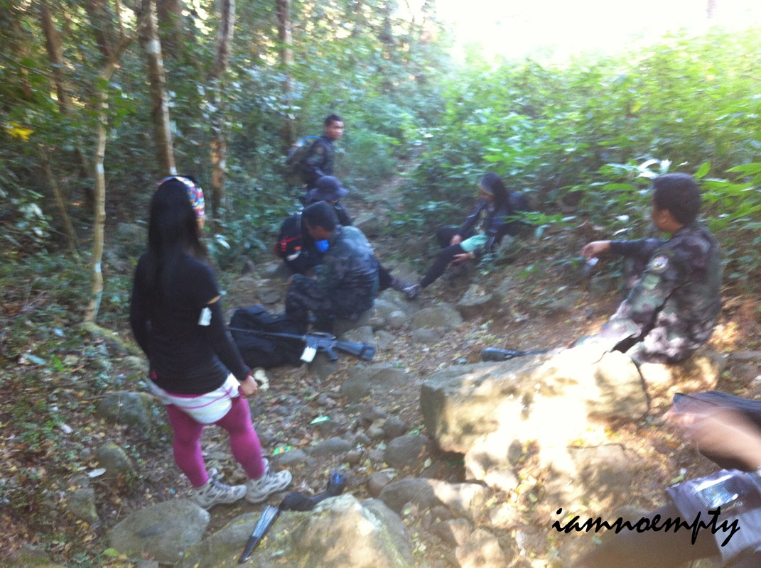 Water source on the right side We had our breakfast sa nearby hut. Took a short rest after... good thing Police Arenas and 2 of his companion were already approaching and then joined us during the entire trek going up. We exchanged stories during the hike at buti nalang nakasabay namin sila because the trails going up was not "Hiker-Friendly", direction wise, because of diversions. The signs that will guide you through were the Direction Post (Green painted Signs) but the distance from each post were to far that in between path you'll might get lost. By the way, may water source recorded sa area. 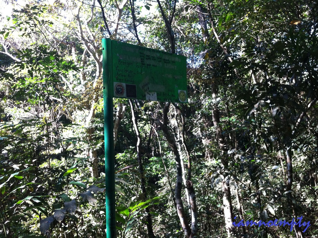 Green Post for directions Killing time... I did verified from them na talagang may mga NPAs sa area. According to them these guys respects hikers, so far no reports that hikers were abducted by them. Just be courteous and show respect. Sad to say, the trail was so dirty at that time. Maraming basura (candy and food wrappers even plastic bottles) na nagkalat. P. Arenas mentioned that many college students hiked and left trash anywhere. I hope a group of mountaineers will conduct a CleanUp drive for Mt. Arayat. White Rock.....100 meter trail to the right is one point you shouldn't miss. The place was wonderful, overlooking Pampanga. Aside sa basura, maraming vandals too. Government should impose a strict ruling just like other mountains to preserve its beauty.
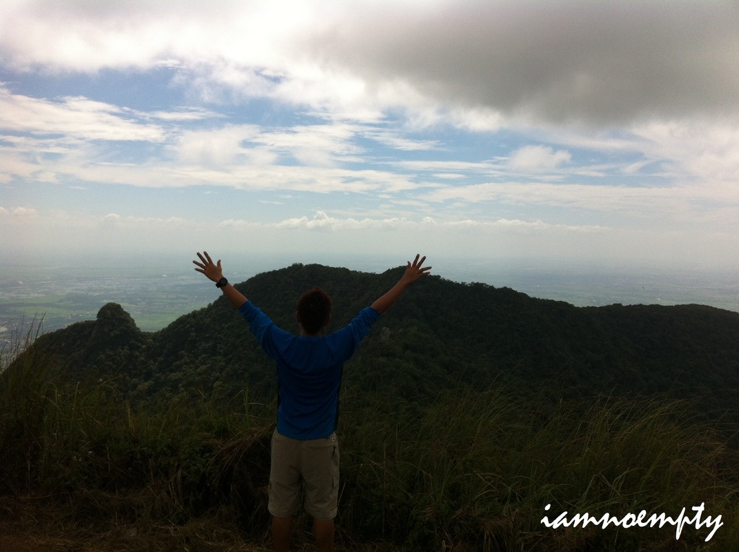
All the way to summit was very exhausting, assault to assault to another assault. Although the trail was not that exposed to sun due to the shades provided by the trees, there were less wind at that time. Proper water conservation is necessary. At last our clue was right in front of us.... Rope! By 12:00pm we reached Sinukuan Peak. A Military Base camp was established. We took our lunch in a small Nipa Hut, rested for an hour and took some Photo Ops.
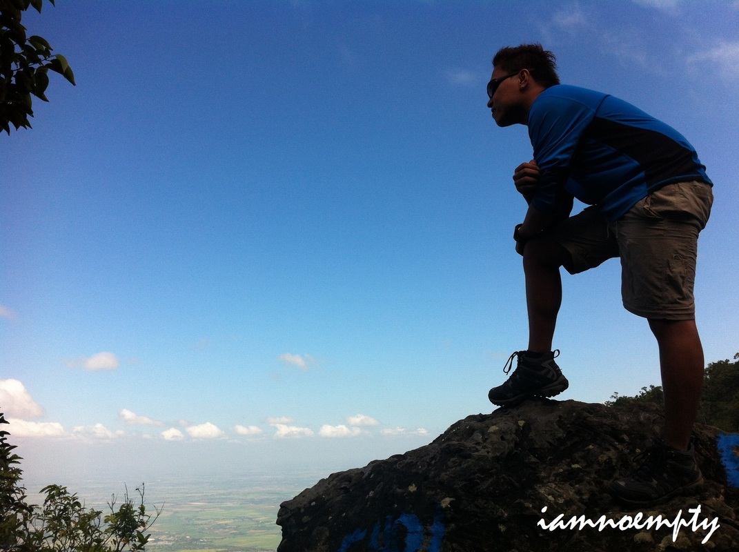
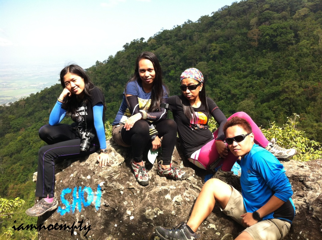
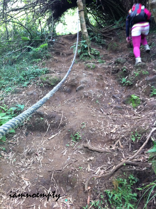
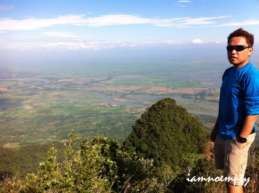
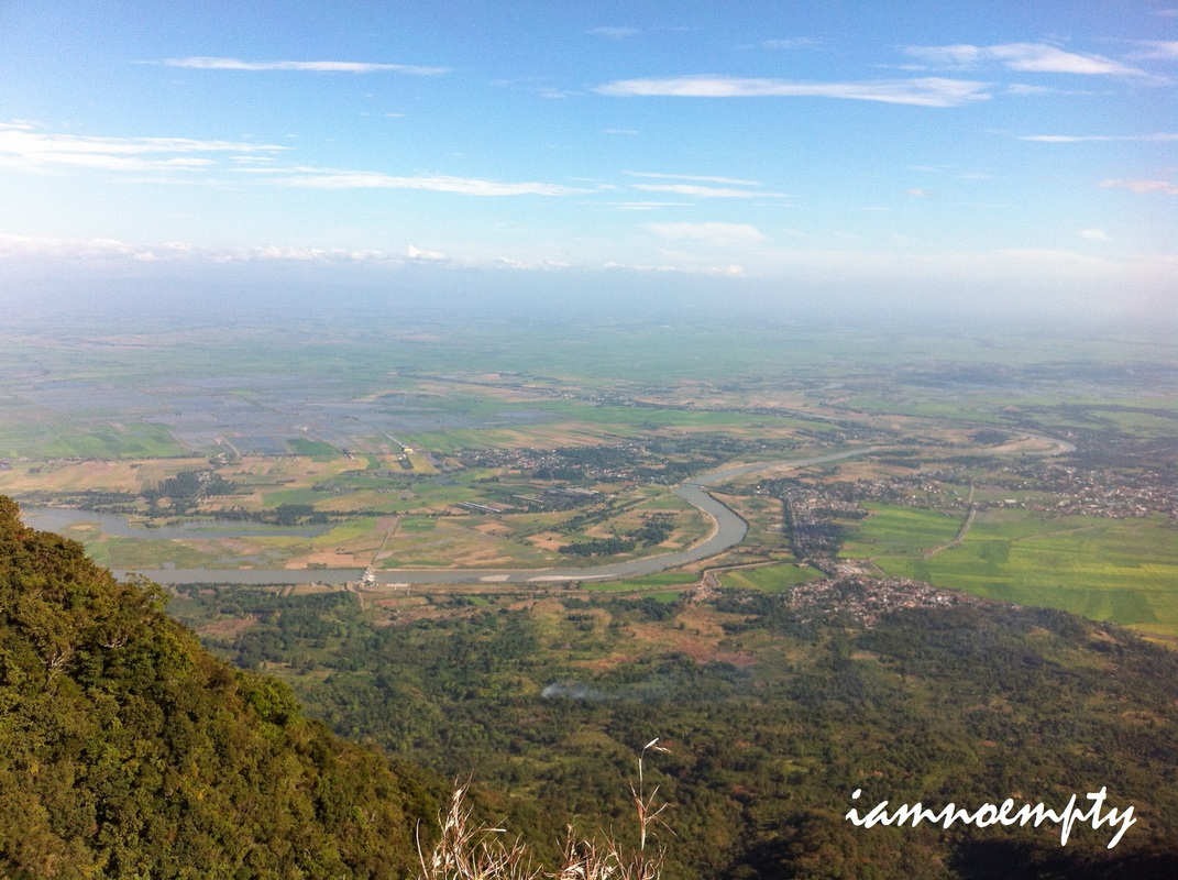
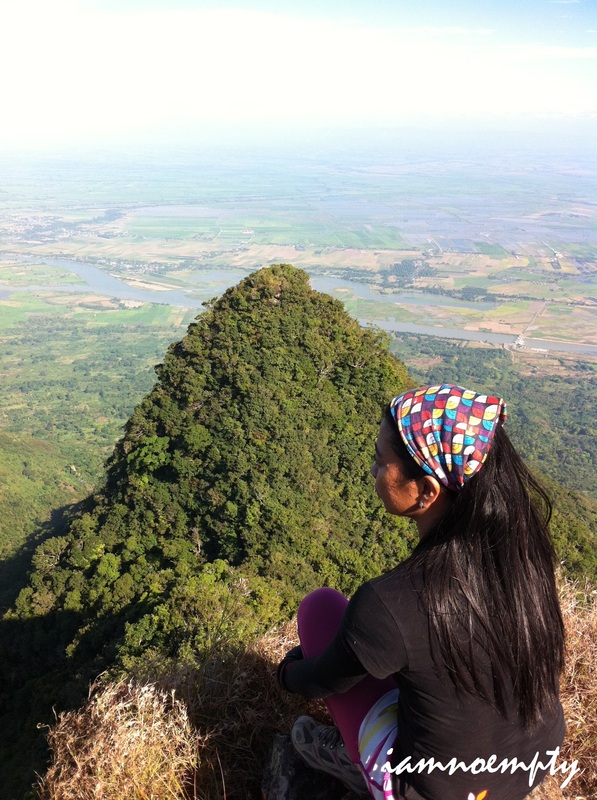
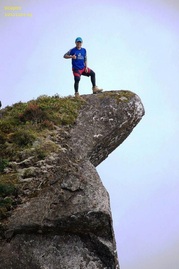
 Follow these knots. At exactly 1:00pm we started the trek, traversing to San Juan Bano. Police Arenas warned that it's a hard trail, composed of assaults and slopes going down. A mountaineer with his wife also warned us that the "Landslide" portion of the trail is very steep. He gave pointers, bilang naakyat na nya ang Mt. Arayat 11th times already, that we need to look for blue ribbons tied on the branches to keep us on the right track (his group left these trail signs ages ago). We gave thanks to the Policemen and to the mountaineer (I forgot to ask his name). This time we were on our own. Going down was very hard, unang baba palang 90 degrees slope na kaagad.... the roots were our friends at that time. There was a portion wherein we got lost for a moment. Although we saw the blue ribbons and other colored knots tied, followed them dearly and still we got lost. Note, there was this portion na may two paths (left and right). Facing a Bamboo shrub, follow the one to your left, a blue ribbon is present then ahead you will see boulders... at the top of that boulders you will see a cave.... DO NOT CLIMB on these boulders. Just below the boulders you will see a yellow ribbon (a rope, same sa picture) tied. Follow it then to your left another set of boulders. Previous mountaineers left some signs here, not ribbons nor rope, rocks for trail signs. It took us minutes to find it since we were looking for ribbons. About 2 rock trail signs before seeing the next knot. 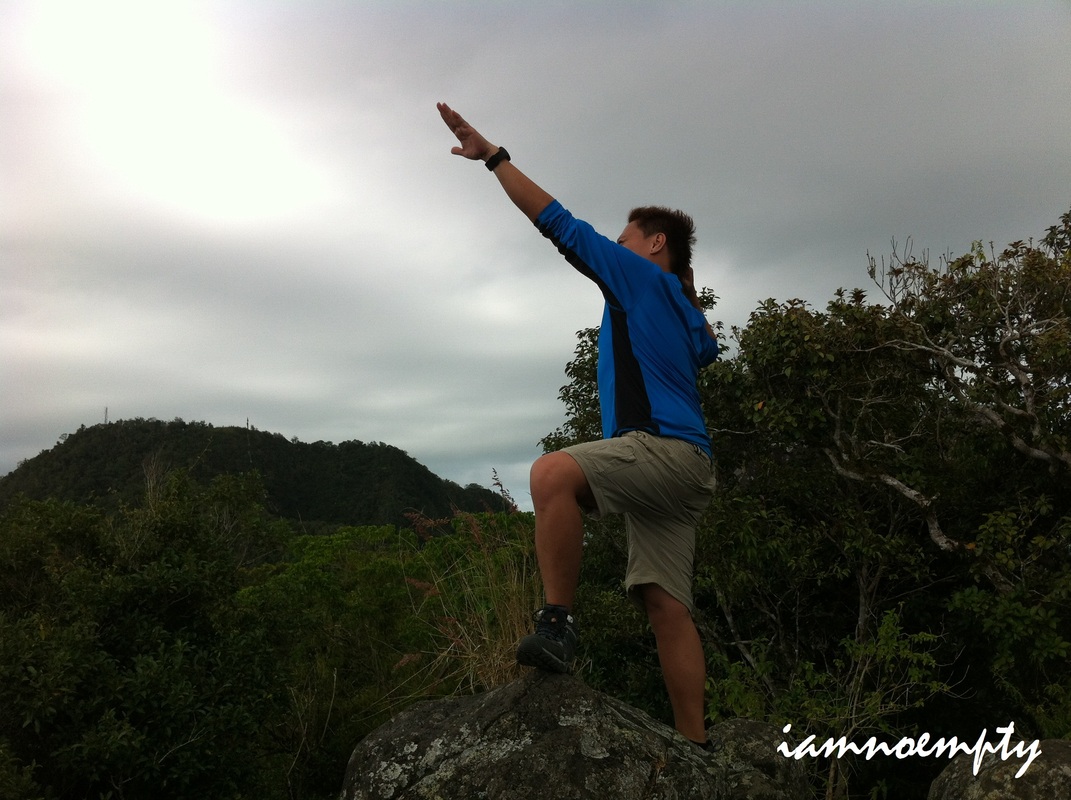 It was windy that time, perfect for trekking. At around 2.00pm we reached this Rock Tower (visible from Sinukuan Peak) As usual we had our Photo Ops, spent less time this time. The trail was nowhere to be found. It was like a dead end.... Thanks to the yellow knot...we were relieved.... but wait.... another 90degree going down. I have to tighten my backpack and secure my trek pole properly because one false move...... i'll be "rolling in the deep". We managed to go down successfully. What was funny was that, we came across to a portion wherein we need to do a 4-Wheel drive to reach the top portion. We keep on shouting, "Bato" to signal the person below that a lose rock or pebbles rolling and for her to avoid it. I even cracked a joke "Sana walang sisigaw na TAOoooooo!!!" The training I got during the Rock Climbing Activity a week before this climb was indeed helpful. Handholds and Footholds were needed. According to a blog I read it was about 50 meters accent, good thing we conquered that portion safely. What made it funny? "The Landslide" was not totally "Landslide". My understanding of landslide is that it is a portion consisting of lose rocks.... Soil eroded. The Landslide mentioned here was not that type, although it was dangerous but still you can manage to do 4-wheel drive going up, roots and branches were present yet you need to be careful and make sure you are grabbing the stable ones. We reached Peak 1 (according to other blogs) camp site around past 3.00pm. To your right (a yellow ribbon) is the trail going down while ahead is the trail going to a view deck. We headed to the view deck, rested for a while and again did not missed the Photo Ops. The site was indeed amazing, overlooking the Central Luzon plain, rice fields and Pampanga River. Awesome!
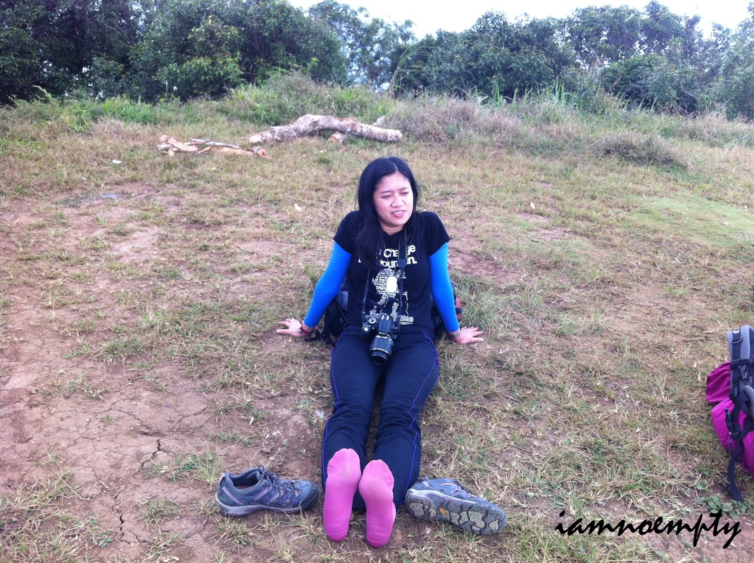
Everyone was ready, all set to go down. Due to excitement most of the time we ran.... yes, Tumatakbo kami. Philippine Skyrunner? We wish...... But due to excitement we ran all the way....most of the time... hehehhe......Warning, just be careful because it's a "basagan ng tuhod" trail going down. 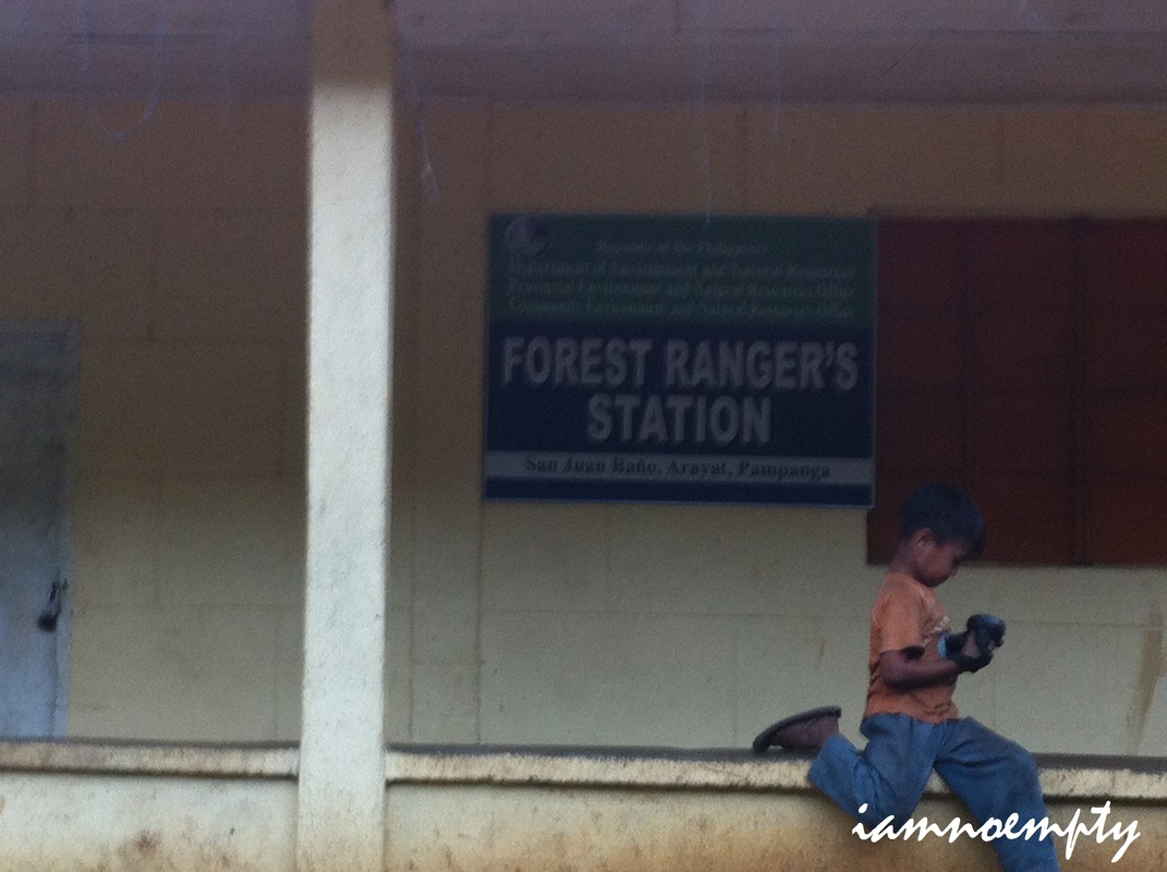 We reached the Forest Ranger's around 5.00pm then rested at a waiting shed ahead. According to other blogs Brgy. San Jose Bano is the opposite of Bgry. Magalang..... it is sometimes called Brgy. MAGUlang. Luckily we did not encounter any incident as what other mountaineers experienced from this side of Mt. Arayat.
We wanted to look for a resort for us to "clean up" but because we were very hungry and it was already past 5:00pm, We agreed not to pursue the Balloon Fest plan, so we hired a tricycle going to Bayan for 25 pesos per person. Took a jeepney ride to SM San Fernando, then had our Dinner @ Sbarro. Wala ng gana para maghanap pa ng resort para makapagpahinga, the only option we found was SOGO, it was just in front of SM San Fernando. Easy access for buses and jeepneys kaya pinili nalang namin to Mam Sikirit, as well as the rest of the group, still wanted to go to Angeles City to join the last day of the Balloon Fest the next day, and the rest of the StormChaser ay maghihintay sa kanila on the said event. However, I wanted to be at home after the climb so I took a bath then headed back to SM San Fernando and waited for a bus going to back to Manila. Another week ended.... another summit reached..... another set pictures kept.....another experience shared.
12 Comments
2/13/2012 09:55:52 pm
nice, parang gusto ko tuloy mag-yaya ng Arayat traverse dayhike.
iamnoempty
2/13/2012 11:34:29 pm
Oo... kayang kaya yan... Yaya na... 5/31/2012 04:44:23 pm
Excellent! I admire all the helpful data you've shared in your articles. I'm looking forward for more helpful articles from you. :)
joan salalila
7/13/2012 12:59:03 am
hi po.. just want to ask if, how much po yung nagastos nyong expenses? ang how long does it take going to the south peak?? pa reply po pls.. thanks
joan
7/13/2012 01:05:06 am
ayyy sorry mali po.. north peak po pala..ehehe.. how long po?? 7/13/2012 03:51:57 am
Hi Mam Joan, 7/17/2012 10:05:07 am
I undoubtedly enjoyed the method that you explore your experience and perception with the region of interest 9/13/2012 11:52:51 am
I have read your article, I am very much impressed because you way of explanation quite good and very informative. And one more thing I have got to know that everyone has a different style to write the article, but I must say your article sounds very good.
iamnoempty
10/22/2012 03:33:50 am
Hi Sir Louie, Your comment will be posted after it is approved.
Leave a Reply. |
This is my blog...
My Diary..... Travel... Climb... Swim..... My Adventures in Words Archive
February 2016
Mountains
All
Social Media Activities Instagram: @iamnoempty

Travel & Leisure |