 The View! Sa wakas The View! Sa wakas
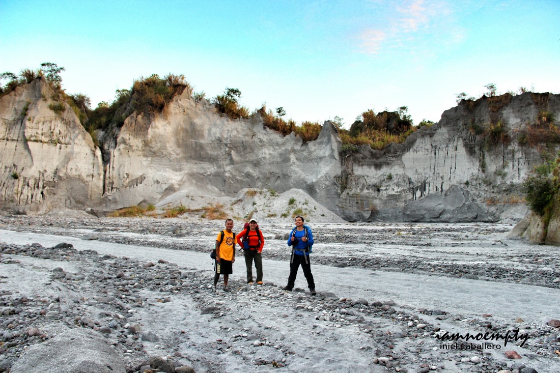
Delta 5 trail is one of the known trail leading to Mt. Pinatubo's crater, it is also the most challenging known trail so far. The jump off point is at Barangay Pidpid in Porac Pampanga.
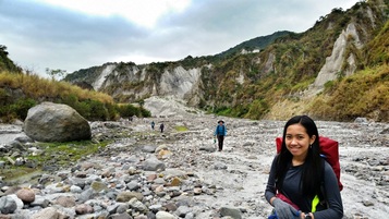
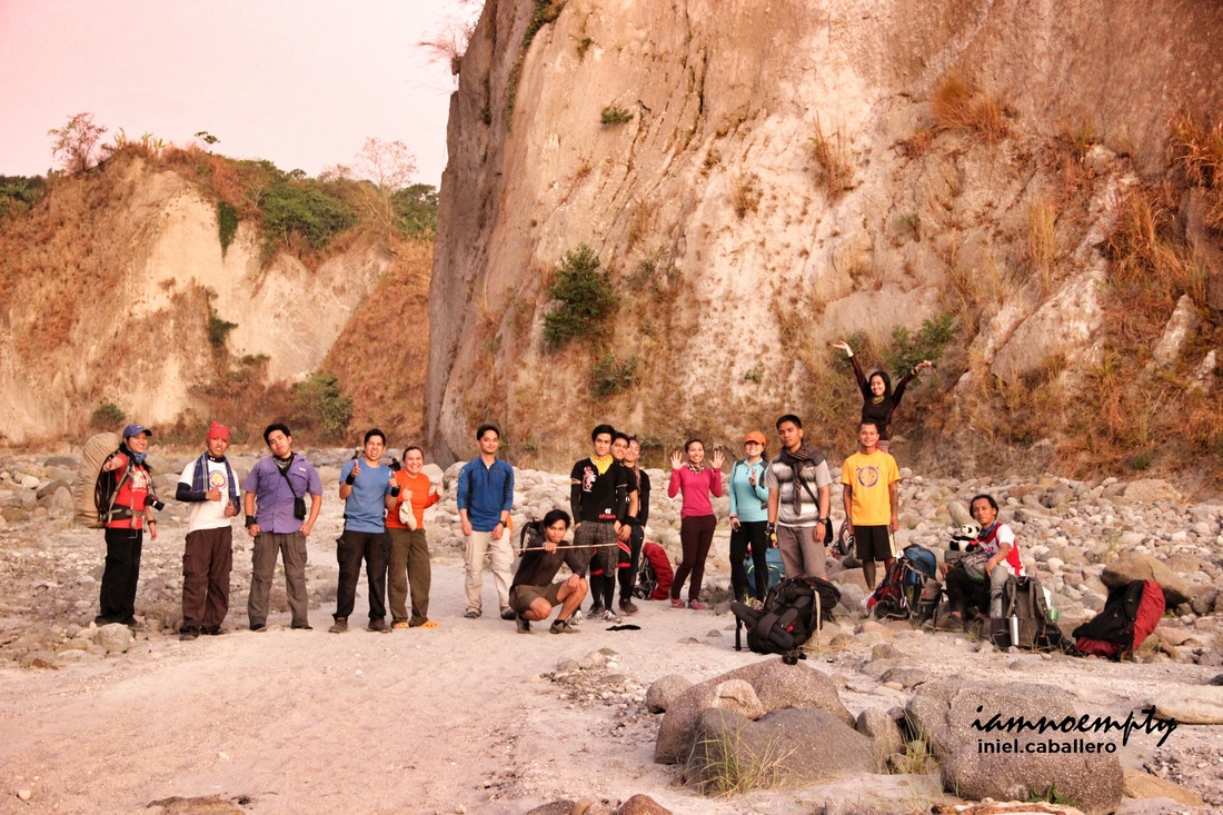
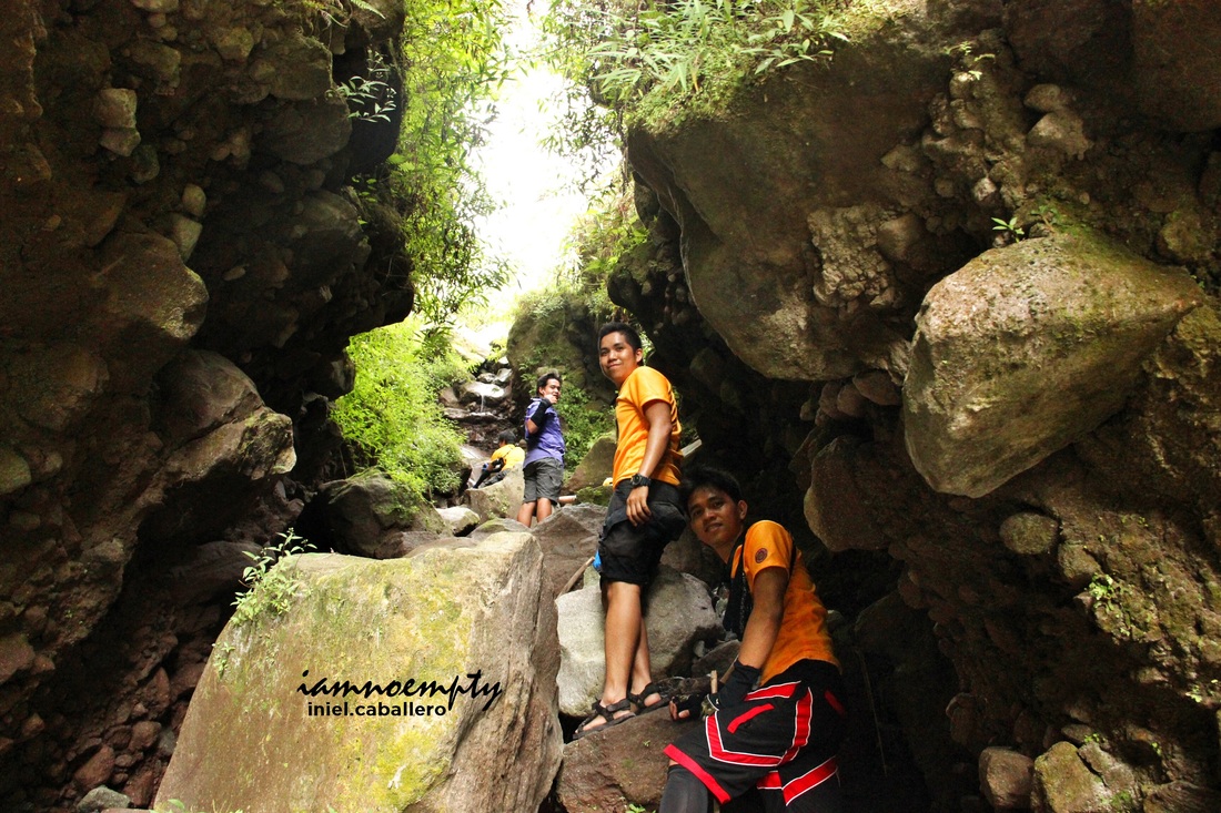
Just a history, I had 2 attempts made to reach the crater via Sapang Uwak - Miyamit Trail (another known trail, quite technical and a long hike). First attempt was 95% successful, I reached the highest point but got no clearing (you may read my entry HERE ) while my second attempt ended up to Miyamit summit only. My eagerness to take a peek on this magnificent nightmare-turned-beauty brought me back in the area. 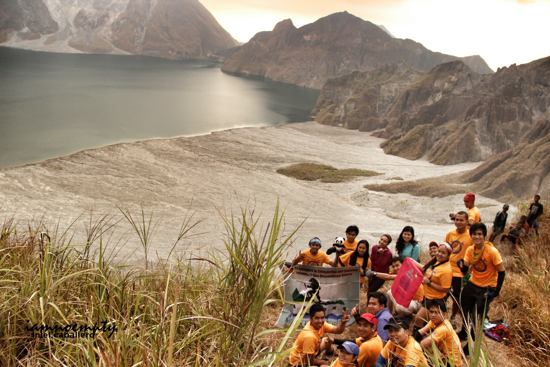 My PACKERS Mountaineering family My PACKERS Mountaineering familyand brave Aeta guides
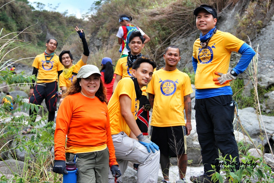
I created the event for my hiking group and coordinated with Sir Rommel of Angelenos Mountaineers for convenience in acquiring Permits and securing guides.
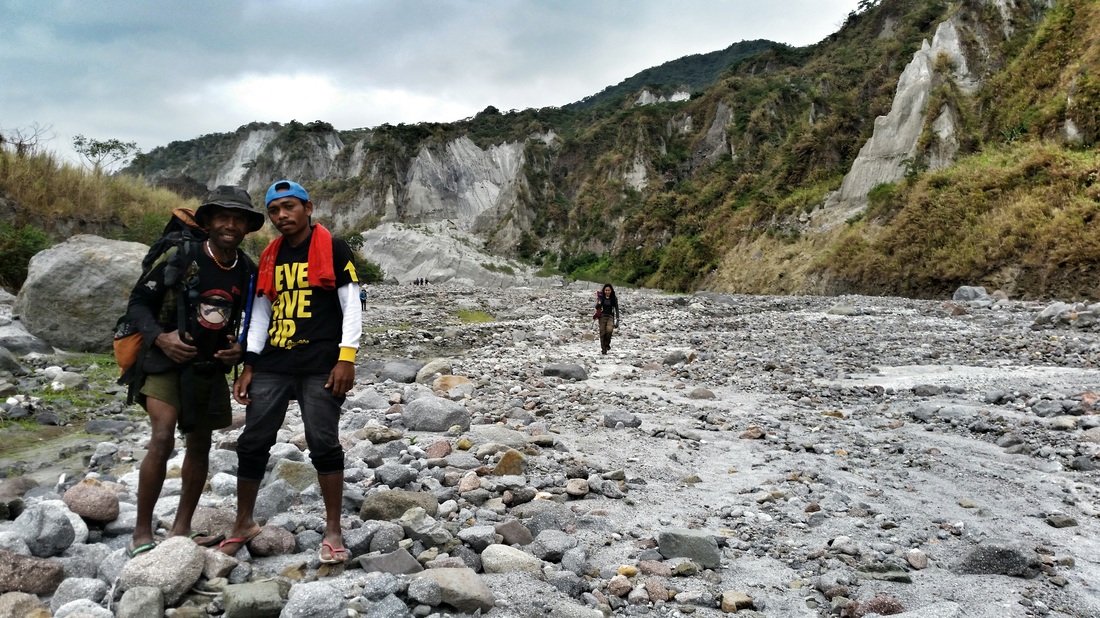
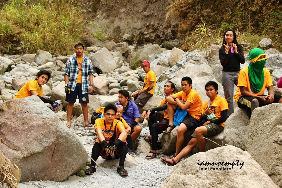
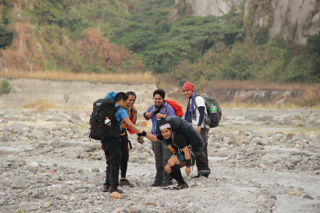
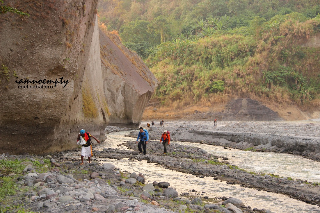
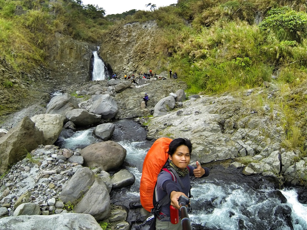
The group comprised of 20 hikers and divided into 3 groups to subdivide tasks. We left Manila around 10:00 pm and arrived at Dau Pampanga terminal around 12 midnight, our target time for the hike is by 3:00 AM. From Dau terminal, we met Sir Rommel and 2 other members of Angelenos Mountaineers that served as our Guide. It took almost 2 hours to reach Brgy. Pidpid then by 3:00 am we started the hike together with 4 Aetas as our guides and team Porters.
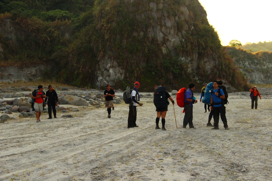
For Day 1, our primary target was to reach the campsite before the Sun sets. The trail was easy... okay, it was purely flat terrain, but what makes Delta 5 trail falls under the category as Major climb specs?
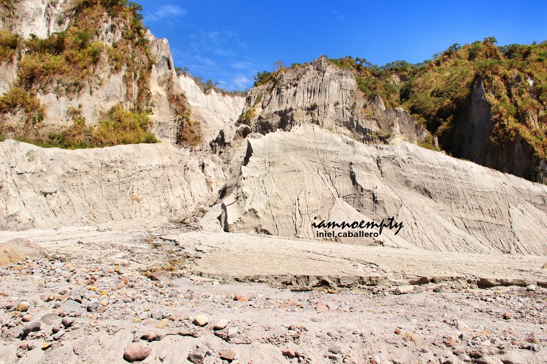
Let me enumerate the reasons based on my experienced. 1. Lahar deposits.
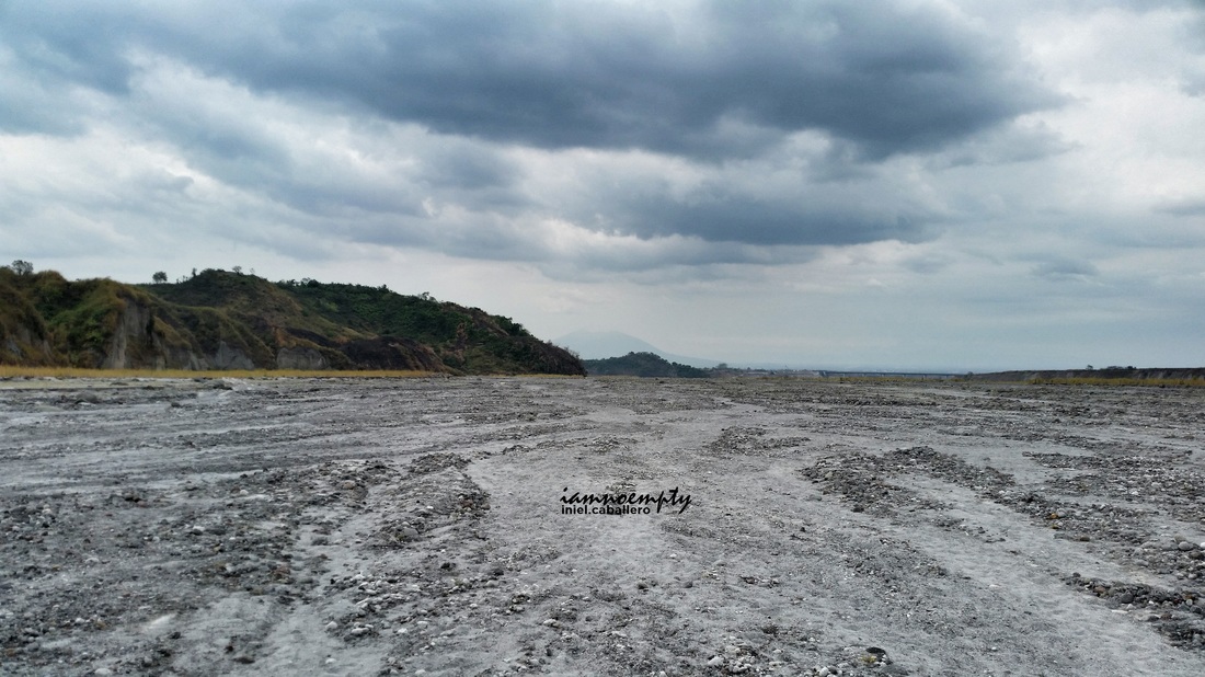
- The entire place was covered with sand. I will describe it like sand because that is the nearest thing I could compare it with.
- Imagine walking along the shoreline where your feet sink for few inches in every steps you take. For Delta five, add around few kilos of load, gravity will really pulls you down. - Every one should wear gaiters.
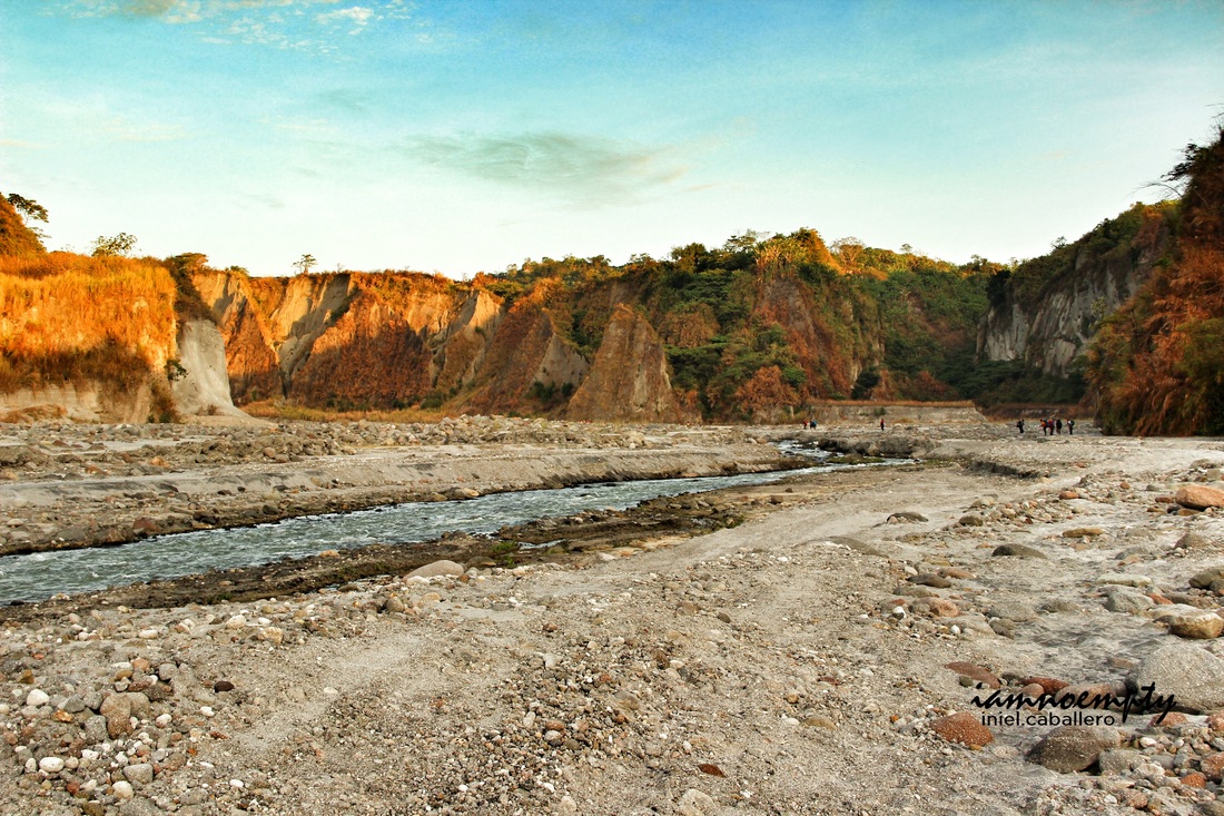
2. Open field.
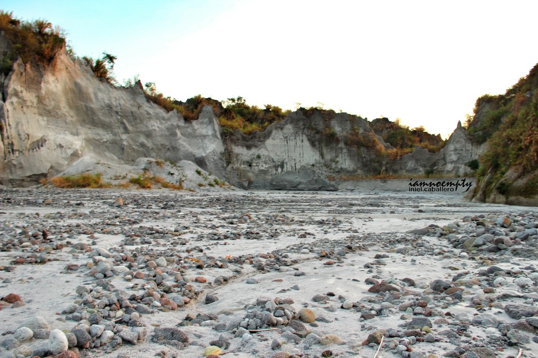
- After the powerful eruption and Lahar as its after effect, the entire place seems to be having a hard time to recover. There were no trees along the trail. Only rocks, pebbles and Cogon grasses.
- The trail is about 90% Desert. Exposure to Sun brought exhaustion to the team.
3. Long walk
- As far as our itinerary is concern, it was noted that the hike going to the Campsite will take about 13 hours. 13 hours under the heat of the sun.
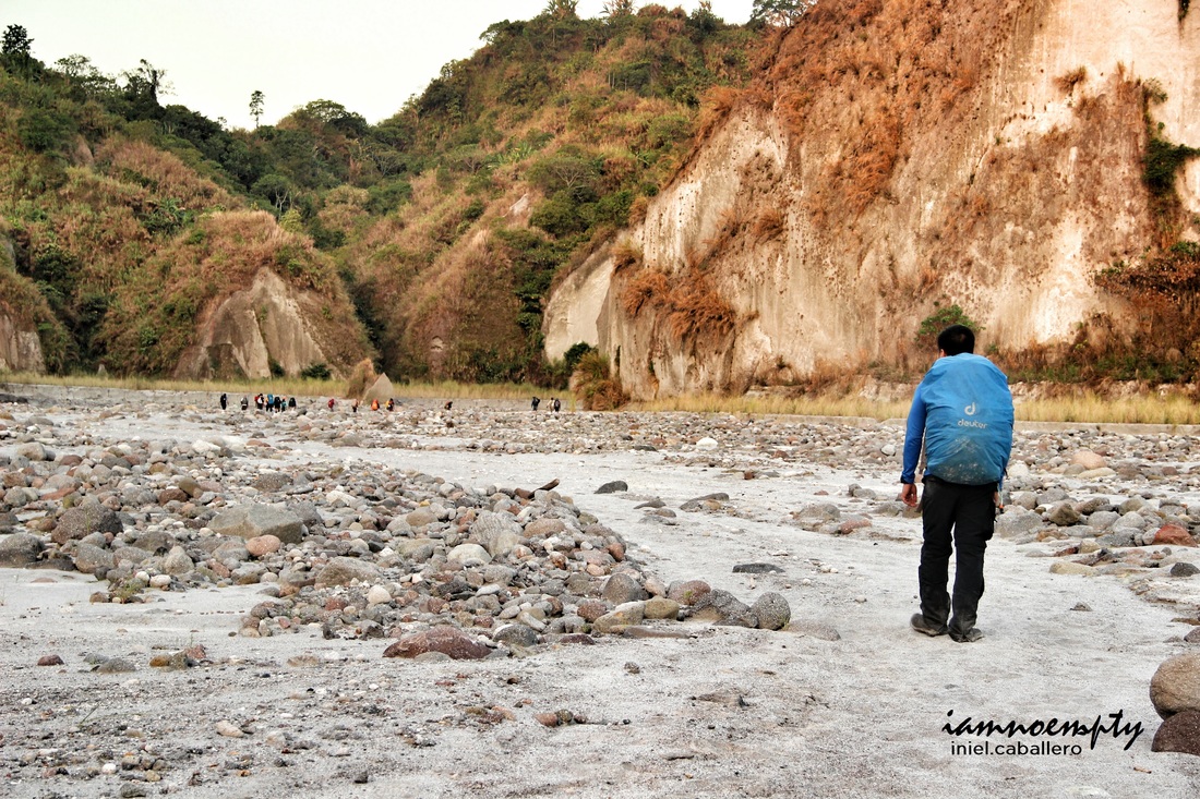
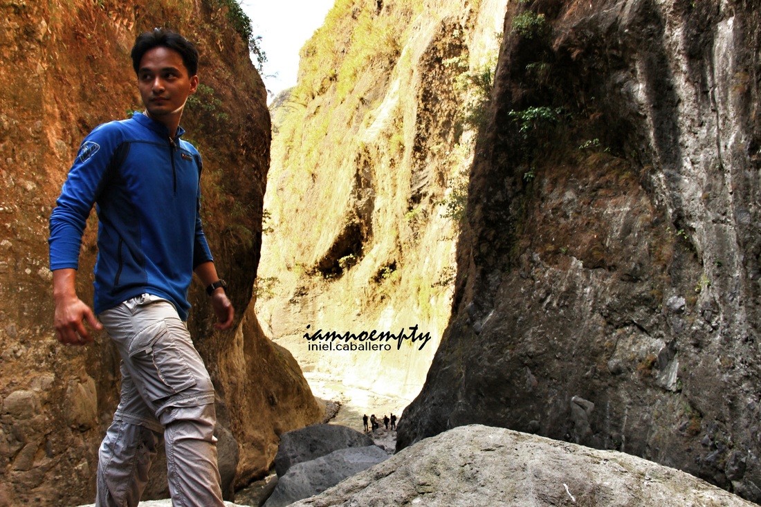
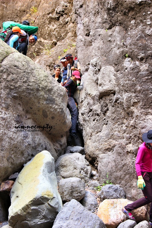
4. Boulders and few cliffs.
- Their were boulders that we need we cross and these where not easy.
- Cliffs, were also a challenge because these were in loose state. Balancing your weight and proper foot coordination was a test. - The trail from Campsite to Summit were more on boulders.
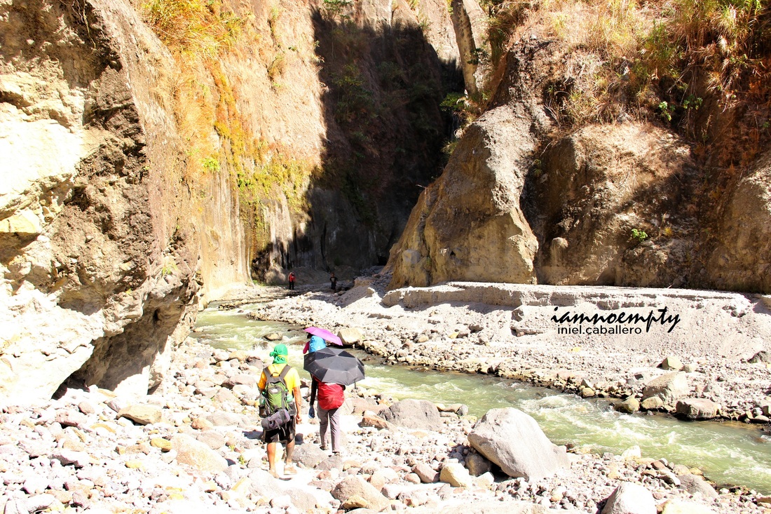
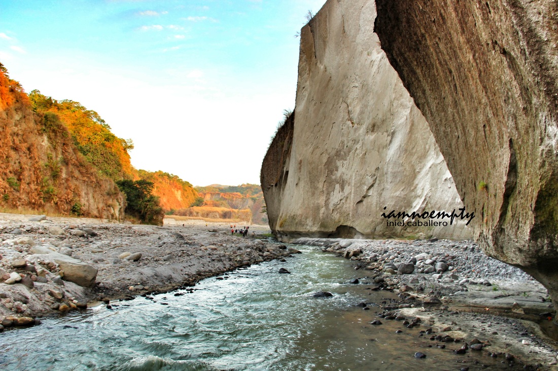
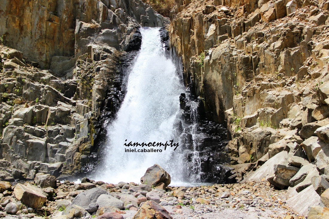
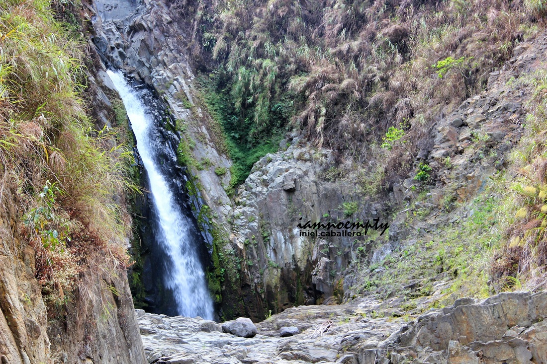
5. River Crossing.
- The most crucial part in every hike. River crossing is dangerous and hiking via Delta trail requires several river crossings.
- I was really praying the day prior the hike and even on the hike itself that the weather will cooperate. An hour of non stop rain will cause the water to rise up and it would be difficult for the entire team cross. Luckily, no rain at all.
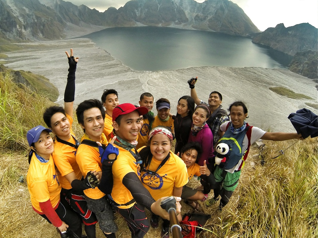 Groufie Groufie
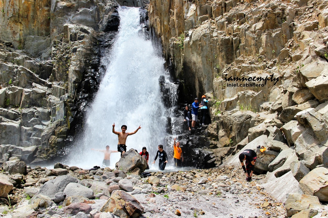
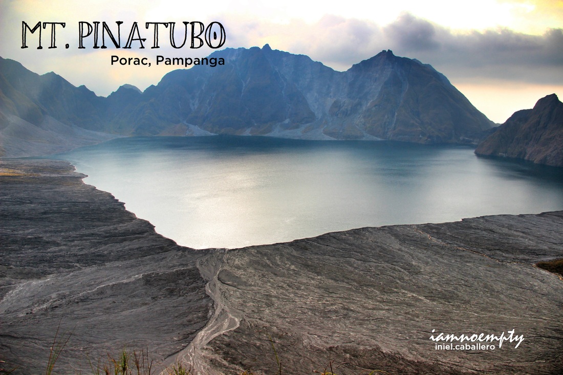
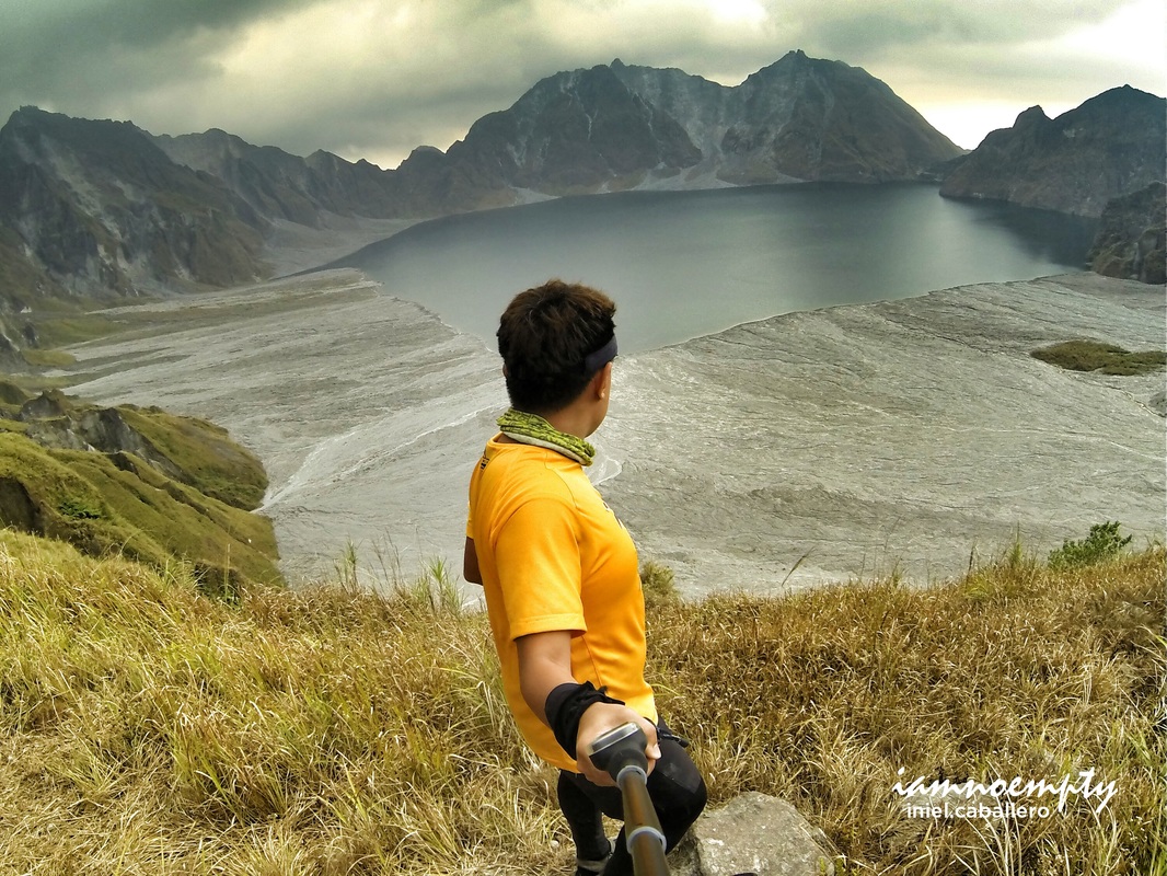
Majority of us arrived at the campsite very early and one of our guides suggested that we can still hike all the way up to the summit, its about 2 more hours to reach the crater rim.
We all agreed to push rather than waking up early the next day and hike on wee hours. The trail going to the summit was more challenging, it was rocky. Boulders and boulders via assault terrain, the open field at the top had a similar landscape from that of Supang Uwak. It was still sandy yet covered with tall grasses. The view deck from this peak has a good angle of the crater. It was magnificent, it was breathtaking.
Despite how tiring and gruesome the entire hike was. It was "SULIT", the view was awesome. Though the place was deserted, it was lovely.
(Click Picture for larger view)
Mt. Pinatubo . . . . . such a beautiful nightmare.....
1 Comment
|
This is my blog...
My Diary..... Travel... Climb... Swim..... My Adventures in Words Archive
February 2016
Mountains
All
Social Media Activities Instagram: @iamnoempty

Travel & Leisure |