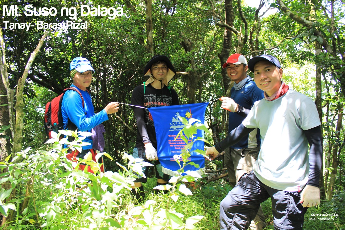
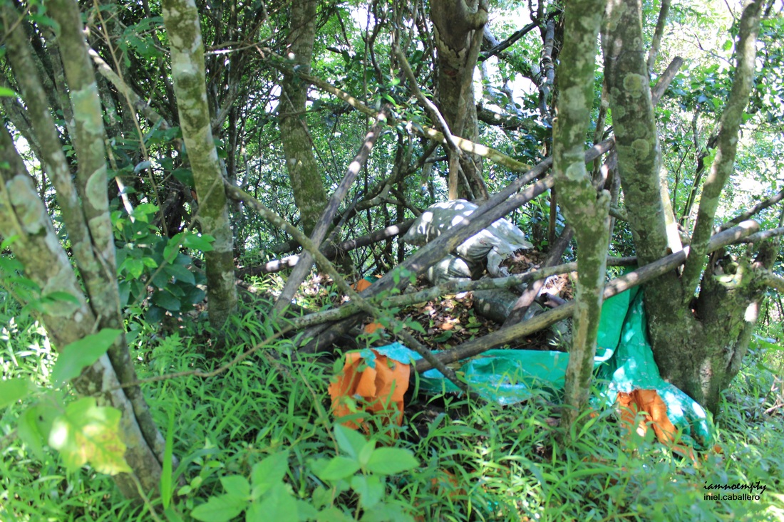
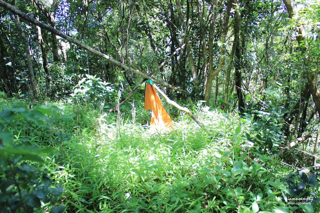
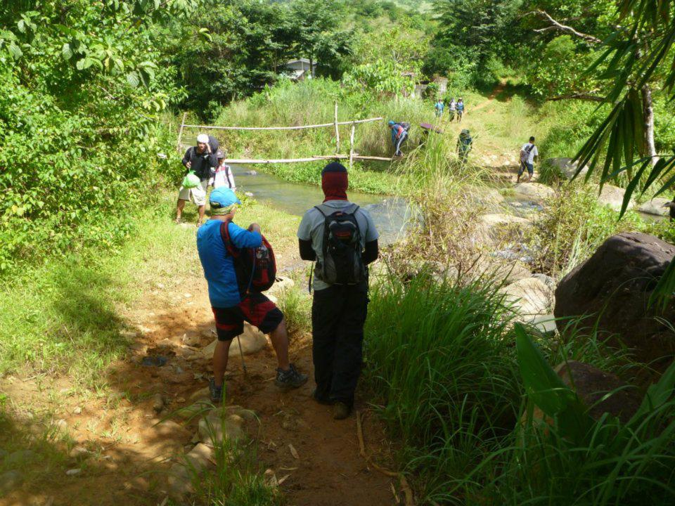
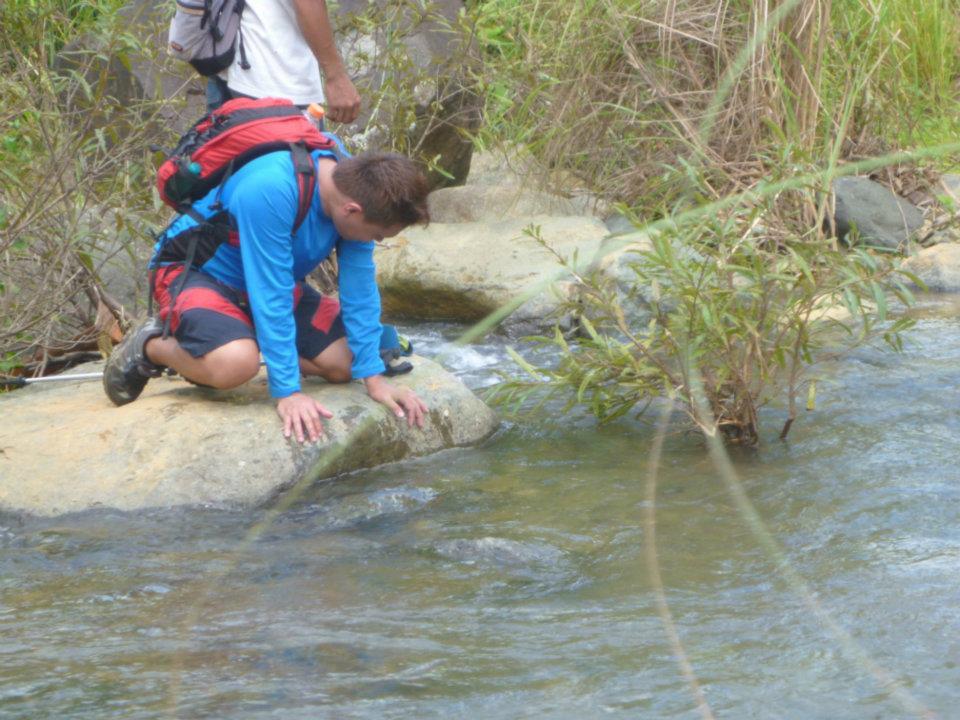
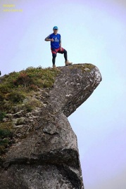
  Courtesy of Sir Ryan From "Pinagpatong", day 2 came and this time we're off to Mt. Suso ng Dalaga. We left Jamboree Sitio Tablon around 9:00am after breakfast papuntang jumpoff point ng Mt. Suso ng Dalaga. This time, apat lang kami umakyat (Sir Ace, Sir Ryan, Sir John and Me) while si Mam Katie nagpaiwan. 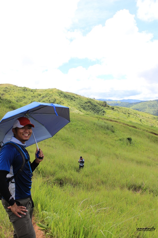 Grassland First part ng trail ay medyo gradual lang ang hike, the trail was flat and covered pa ng mga puno. We meet a group of hikers galing sa isang falls. After passing a small village, grassland ang sasalubong. Tirik ang araw that time kaya sobrang exposed ang team, nakakadehydrate. For an hour na lakaran sa open field, simula na ng masukal na daan. Yes, sobrang masukal that even our guides paved the trail. Based from our guide's assessment, the trail can no longer be found so they created one for the group. This mountain is often visited because of one reason: NPAs. Most hikers are afraid that Military might consider them as NPAs, according to our guides.  Descend going to abandoned "ulingan" Reaching the summit is quite challenging, although it will only take you about 20-25 mins mula sa isang abandoned "ulingan". Challenging in a sense that you need to do a lot of footwork to balance. 10-15 mins before summit, you'll be finding yourself inside a forested area, our guides advised us to stay quite as possible. The summit itself is forested, perfect place to hide. Our Guide directed us to a Foxhole where military used it when doing a daily surveillance. We stayed for about 10-15 minutes sa summit, took some photoOps then descend. This time we were using a different trail, a established one. This trail will also lead us to the opposite mountain (2nd Peak), however we opted not visit the second peak and chose the left diversion going back to the small village. Summit Shots
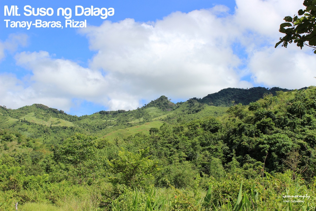
 courtesy of Sir Ryan There are water sources and streams along the trail which I believe is potable. Full to gradual ascend/descend awaits hikers when visiting this mountain. Gloves, Long sleeves/Arm warmers and or anything that will cover your arms and legs from Cogon grass' blades is a must, I guess. For about 4-5 hours you'll be able to finish the entire climb. From the trail, Mt. Tagapo (another mountain with an alternate name, Mt. Suso ng Dalaga) and the entire Talim island can be seen from afar. This mountain is a good venue for "dayhike" trek, although nothing special about this mountain and "little to nothing" view can be seen from the summit since it's forested (Forrest = Very Good).  Another weekend adventure ended that day.... Kahit walang Mt. Irid-Mt Tukduan Banoi na naakyat as planned, Mt. Suso ng Dalaga and Masungi Rock Formation quenched our thirst for adventure.
2 Comments
3/28/2013 04:16:45 pm
hi sir, 3/30/2013 11:12:58 pm
Sir, Leave a Reply. |
This is my blog...
My Diary..... Travel... Climb... Swim..... My Adventures in Words Archive
February 2016
Mountains
All
Social Media Activities Instagram: @iamnoempty

Travel & Leisure |