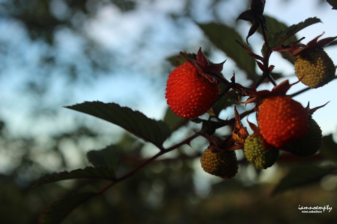
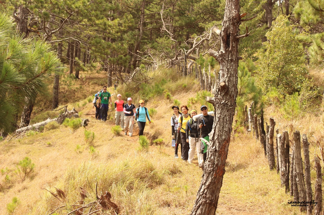
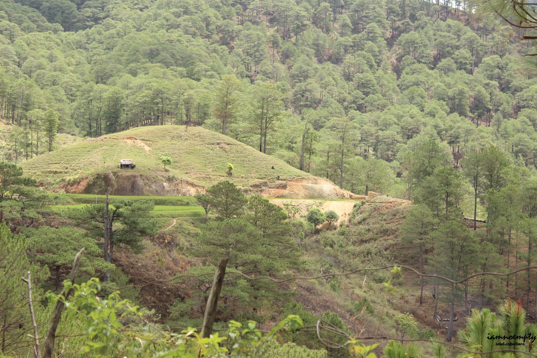
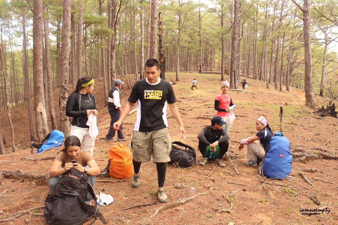
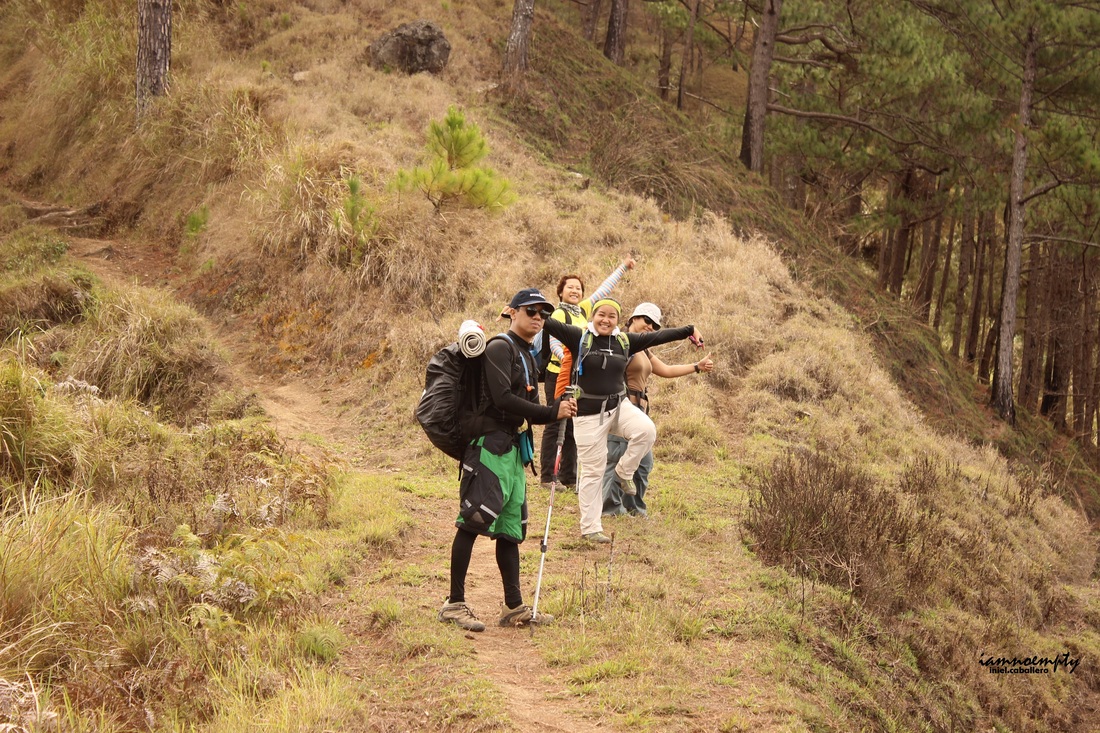
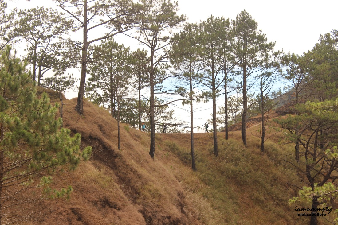
  Recently, Mt. Ugo became a venue for trail run activities. Blogs described the trail as "long and winding road" where tall pine trees offers it shades to every hikers. Today, PACKERS with friends set off to accomplish the said traverse. The group was divided into two, 10 pax left Manila around 9:00 Friday night while Sir Erwin and I left Manila at exactly 6:30 Saturday morning. 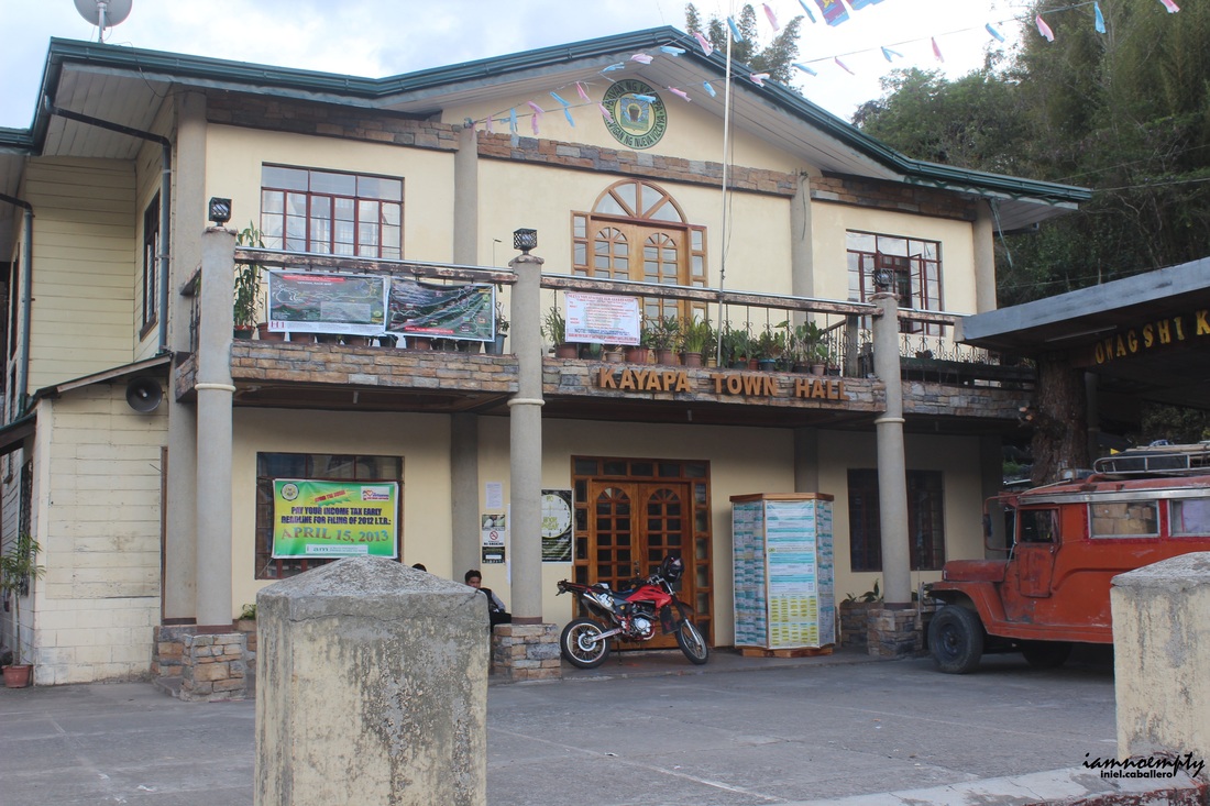 For day 1, Team's target was to reach the School at Domolpos Village where we will camp for the night and since Sir Erwin and I started the hike late, we need to reach the school before night time. After 6 hours and 31 minutes we reached Bambang, Nueva Vizcaya. From here a Van will route commuters going Kayapa, the Jumpoff for the said climb. We reached Kayapa around 2:32 pm and was greeted by our guide. Had a courtesy call and registered at the Brgy. Hall then ate our late Brunch and at exactly 3:00pm the hike started. 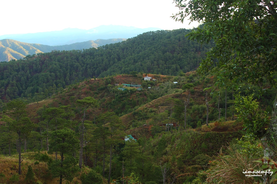 Domolpos Village. Domolpos Village. From Jumpoff to Indupit Village the trail was full ascent, I was catching my breath most of the time. I guess, right after a heavy meal, never start your trek right away. Your heavy stomach will surely slows you down. We had few 3mins breaks in between before reaching Indupit Village by 4:15pm. Thick cloud enveloped the area by the time we were there.  First batch at Plateau First batch at PlateauPhoto © Sir JohnJay Sir Erwin described the trail to be a gradual one from here, it's his second time in Ugo by the way. I am assuming that the trail will be concreted in the future because of the on going widening project. Sad to say, parts of the mountain were paved because of this. Still covered with fog, Sir Erwin described what's supposed to be seen behind those haze. Such a dismay... By the time we passed "Welcome to Ansipsip Elem. School" signage, I requested to take the lead and started running to cut the hike short. At 6:15pm we started the descent going to the village then by 6:30pm we reached the Elementary School where the rest of the team were waiting. Ate our dinner then shared some spooky stories (Sir Erwin saw a boy behind me during our trek earlier, he has this extra ability to see things normal people do not have). Before we hit the sack, briefing was conducted for tomorrow's trek. Half of the first group scaled the summit earlier, the other half and I will scale it early next morning. The temperature was not that cold until early morning and the group was again divided into two, the first half will scale the summit while the second half will cook breakfast/lunch and will meet at the exit fork on the traversed side. I led the first batch, 2 guides and 5 girls. By the time we reached the fork (just below the assault trail to campsite), one of our guide stayed to guard the backpacks of the 5 girls. It was agreed back at the school that they will leave their bags at the fork and the second batch will carry those until reaching the other side of the trail. With this strategy, the first batch will be able to reach and descend from the summit quicker.
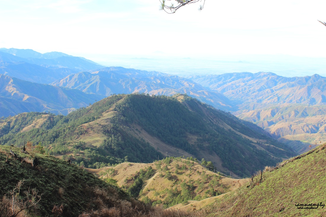
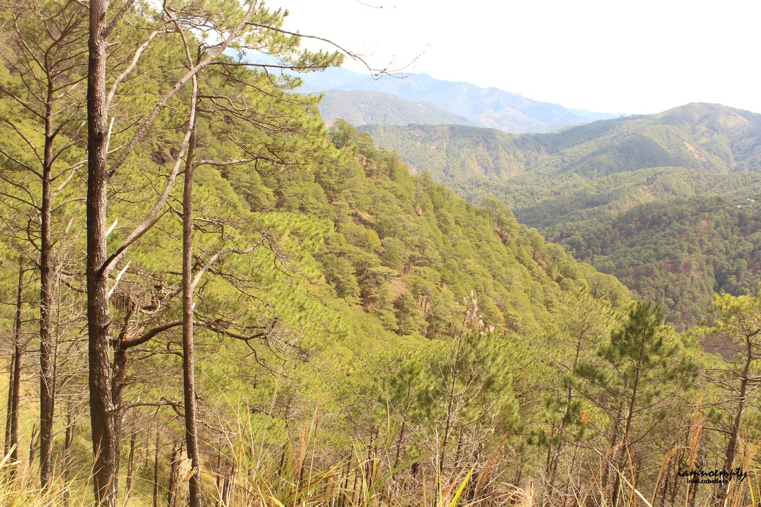
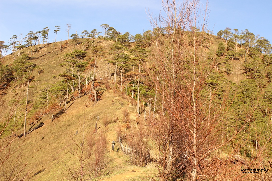 Assault to Camp Site Assault to Camp Site The trail reaching the camp site was purely assault while the view was breathtaking. Mountains covered with pine trees, cool mountain breeze. Mt. Purgatory and Mt. Pulag can be seen from the trail. Hikers from BSP (Banko Sentral ng Pilipinas) had their overnight stay at the camp site and started packing up by the time we reached the area.
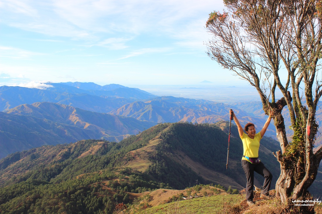
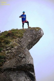
For about 15 minutes we reached the Summit and had some PhotoOps. The summit has this wide open space, perfect for pitching your tent however according to our guide, camping is not allowed at the summit to preserve and protect area.
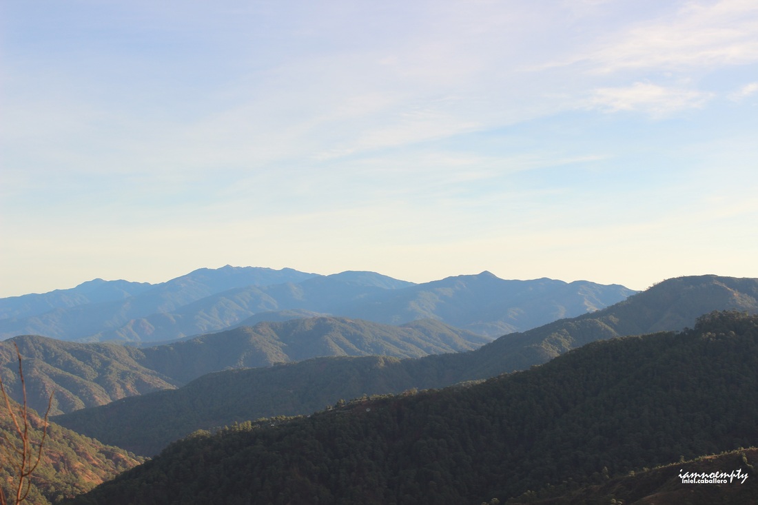
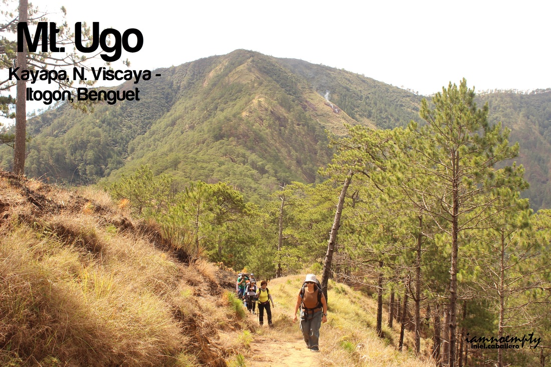
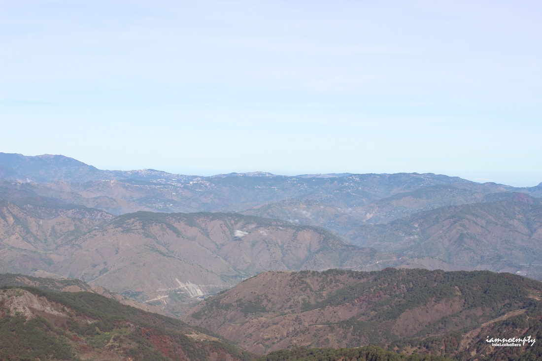 Baguio City Baguio City The descent was steep all the way to the fork while Baguio can be seen from the steep slope as well as the wide mountain range covered with pine trees below. We arrived first at the fork, lied down and took a nap while waiting for the second batch. Recharged by the time the second batch arrived we then hiked all the way to Lusod Village for Lunch. 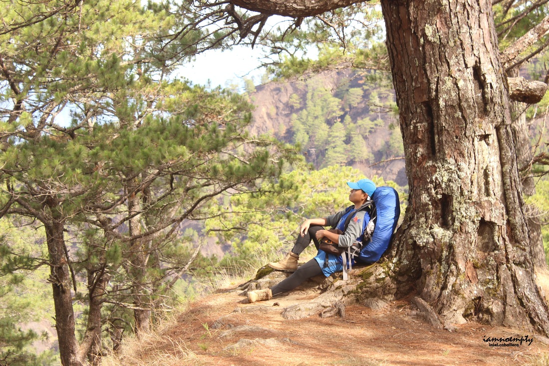 nageemo. nageemo. The traverse trail is what I love the most. More and more pine trees everywhere, cooler breeze, green ridges. Really, mountains in Cordillera Region are treasures. Also, the traverse trail had post signs/markers painted in yellow with indicators in 0.5 KM intervals. The summit was marked as 15KM while the Jump off point (waiting shed at Sitio Cawayan) marked as 0.0 KM. I think these markers were installed during the Trail run activity conducted by R.O.X.
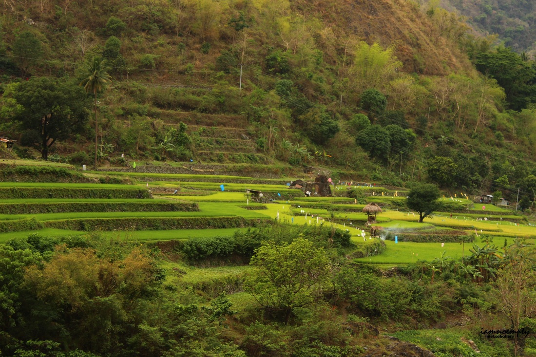
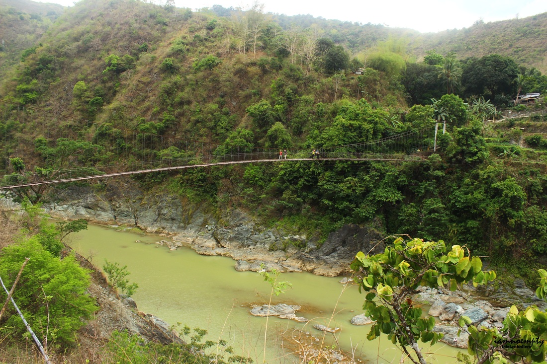
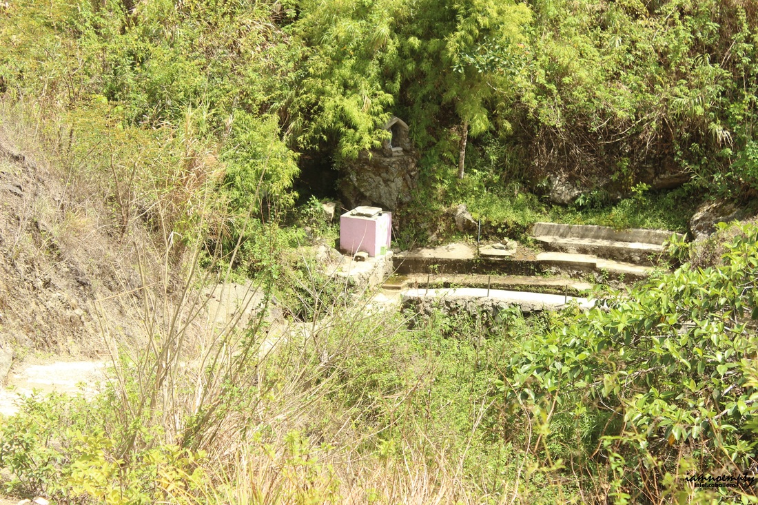 Anawang Water Source Anawang Water Source Water sources wer available at the traverse side. Though I forgot to document the exact location of the first water source, I believe it was somewhere in 6 - 8.5KM, a hose that can be detached. Another water source awaits just below the open area with slope terrain, this water source is called Anawang, a pink-painted water tank.  I reached Sitio Cawayan around 2.11pm followed by our guide together with Sir Mac, we rested and waited for the team. From Sitio Cawayan, we hiked and crossed the Bengueng Bridge then proceeded to the waiting shed where our hired jeep was waiting. The day ended at Tinongdan Barangay Hall with a Certificate issued by the Local Government indicating that we had successfully traversed Mt. Ugo.
0 Comments
Leave a Reply. |
This is my blog...
My Diary..... Travel... Climb... Swim..... My Adventures in Words Archive
February 2016
Mountains
All
Social Media Activities Instagram: @iamnoempty

Travel & Leisure |