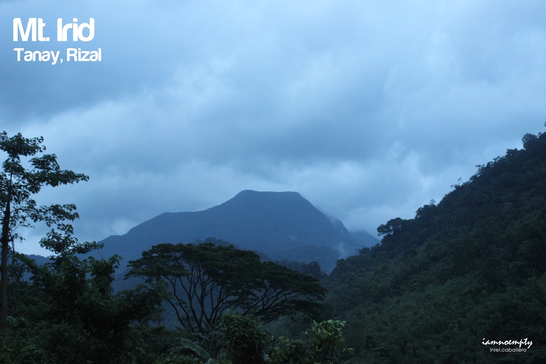
  The revenge........ After months from our failed attempt
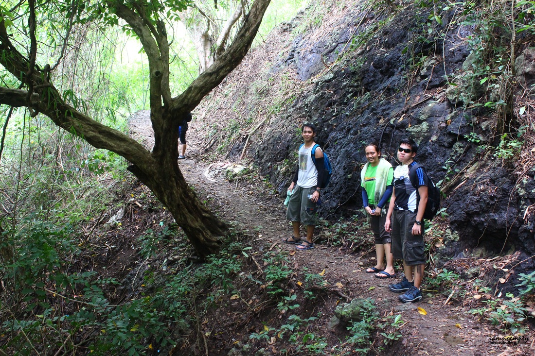
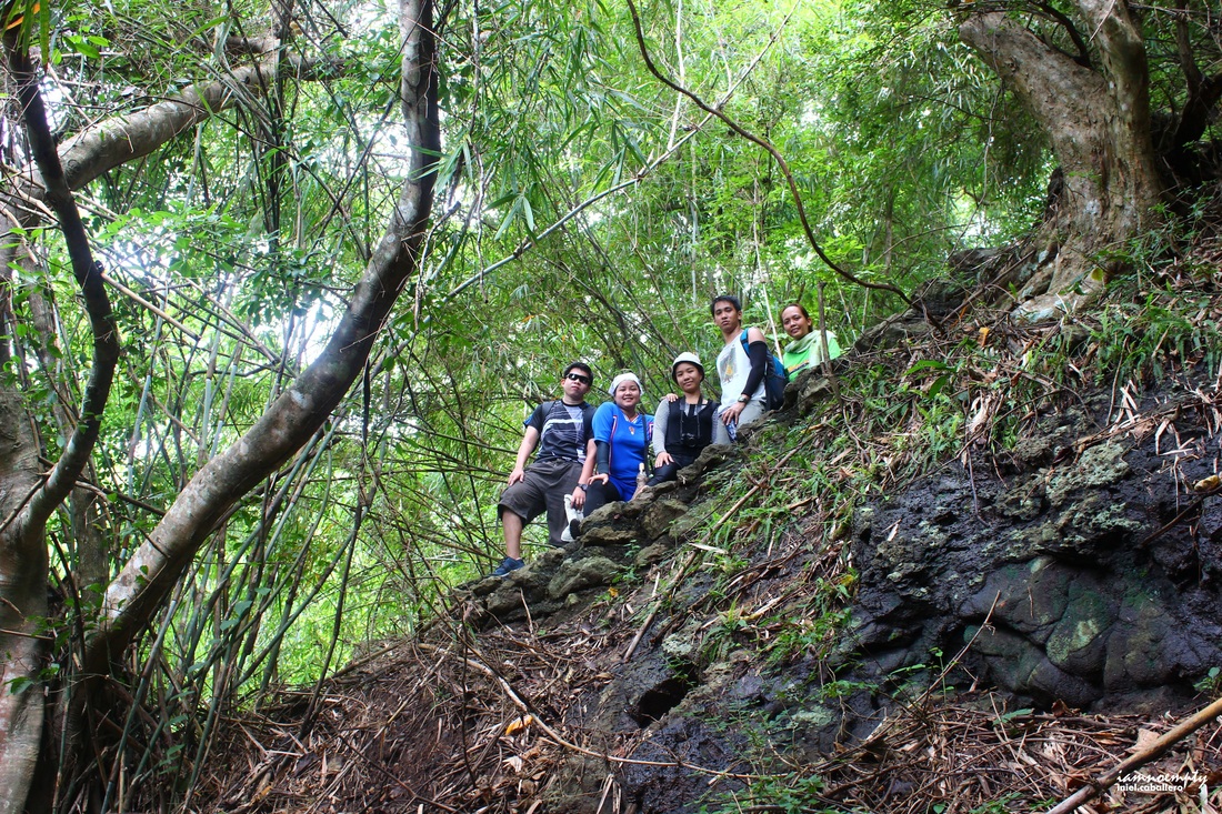
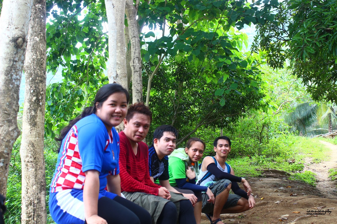
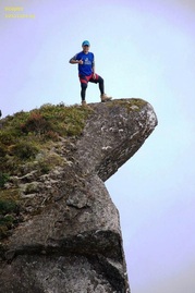
This time few PACKERS joined the climb. Usual route from Manila to Rizal, where our hired jeepney was waiting for us. It was a bumpy ride all the way and passed 7-8 rivers before reaching Brgy. Sta. Inez. Secured guide, register and courtesy call to Brgy. Captain and Military Personnel were the SOPs when climbing Mt. Irid. The trek started around 7:00 am and crossed several rivers when our guide suggested to climb a mountain to bypass the last river cross where the current was too strong. Without hesitation and for the safety of the team, we scrambled all the way up to a no name mountain...... Unluckily, the soil was too loose at that time because of the rain that took place a few hours before our trek. So balancing on a slope was our main concern, heavy backpacks, eroded soil and limatiks... not just LIMAtiks.. MARAMITIKS.
8 Comments
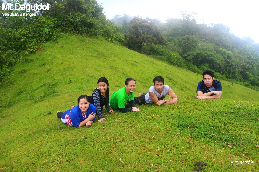
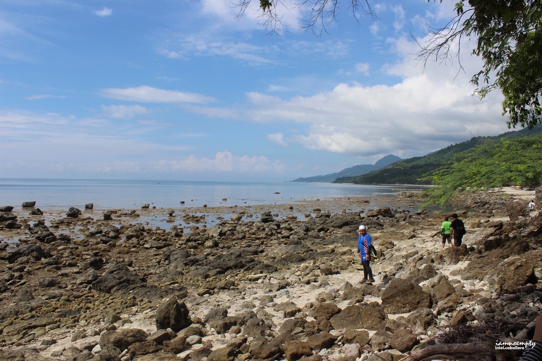 A fun climb as they would call it...... Go hike all the way up then enjoy the rest of the day and or extend another day at the beach, such relaxing. Mt. Daguldol is perfect for beginners or for people who wishes to try hiking. A 30 mins walk along shoreline of Laiya to start with can be exhausting, a direct exposure to the sun plus the sand can slows you down. 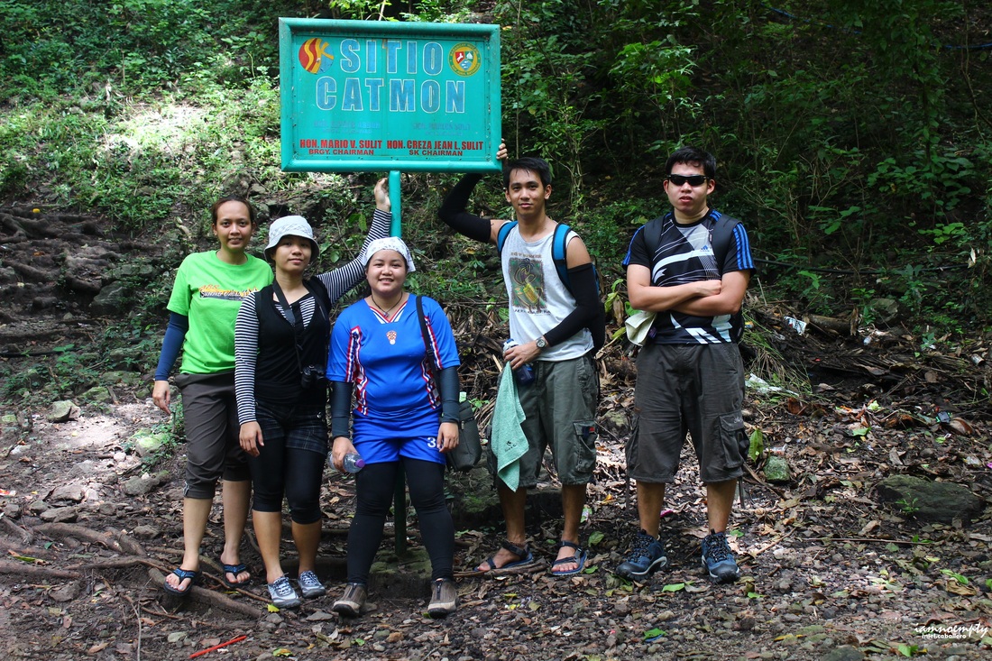 A gradual slope awaits everyone when entering the forested area, the trail was well paved however from time to time you'll see forks since some part of the mountains are inhabited. Our Guide, (not an actual guide but the wife of our Guide) walked too fast that the team were left finding the trail and with that she forgot to bring to the Falls. (It was a waste of money for a Guide fee).
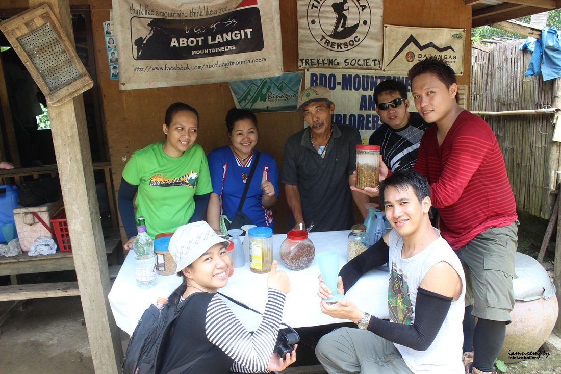 with Mang Lizardo The team passed a Coconut farm and a small village then reached Mang Lizardo's house. During our Halo halo break at his house, Mang Lizardo shared some stories about the mountain. He and some of his friends were the first people to reached the Summit of Mt. Daguldol, they trailblaze the area. The current trail we hikers follow was the trail created by Mang Lizardo and his friends way back. 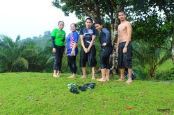 The time we reached the summit, it was raining cats and dog. An open field near the summit became our playground for a while and from time to time we ran towards a tree to hide when thunderstorms and lightnings occurs. 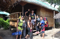 After clearing and witnessed the view from above, we started our descend and headed back to Laiya Resort where we spent our socials and celebrate our 1st year as climbing buddies. 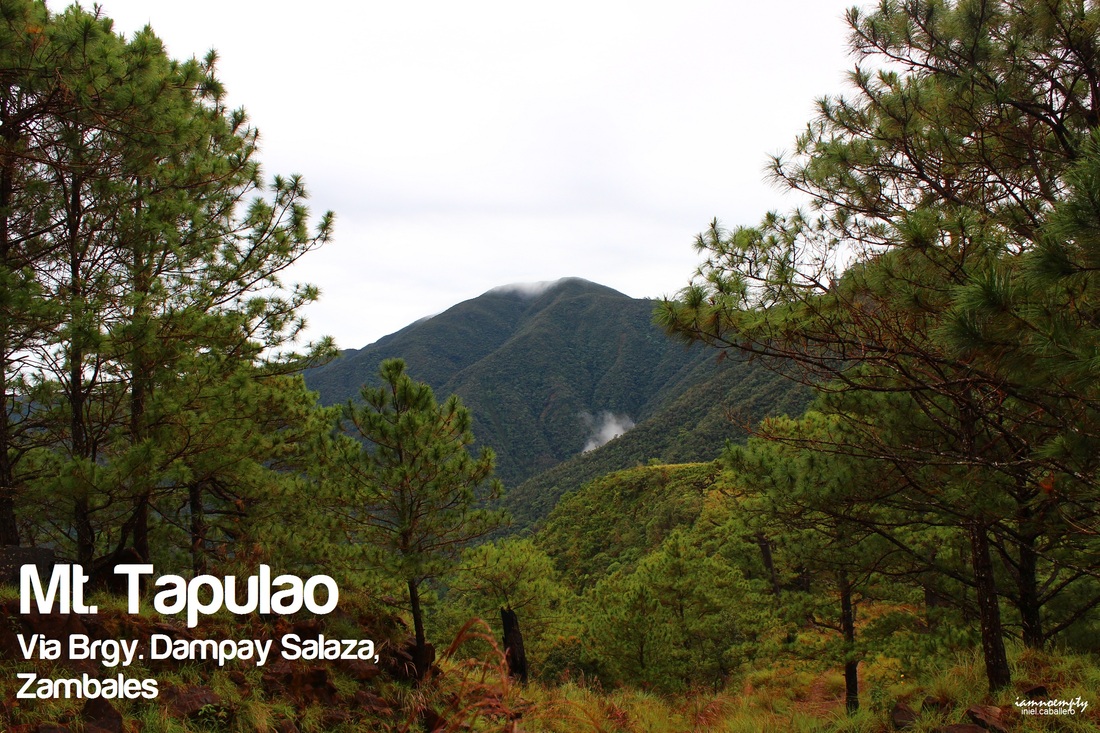  Yung feeling na hindi mo matangap ang isang pangyayari at gusto mong balikan para maituwid ang isang pagkakamali. Buti nalang pwede ito sa pamumudok.
A week after the failed climb, my mind was already set for another attempt and it will be Solo Dayhike. Left Manila around 8.13pm via Victory Liner - Caloocan full of positive thoughts and hoping for a nice weather. After registration, I started my trek around 2.20am. The temperature was so cold and sometimes it drizzled. If you'll ask me if I got scared while hiking alone at early dawn? Yes. In order to divert that feeling, I intentionally brought my xMini II (very handy though) speaker and played some music from my playlist (about 90% volume). Humming, singing made the first few hours of trekking light and supernatural-free. Well, let's talk about the trail. Every blog or write ups about Tapulao describe the trail as "Rocky". True indeed, from the trailhead at Brgy. Dampay-Salaza to Bunkers you'll be following a craggy terrain. As recorded, the ascend can be completed for about 7 - 8 hours, and that depends on your pacing (solo or as group). Descend can be cut into half, since ascend is more time consuming in terms of pacing than descend. |
This is my blog...
My Diary..... Travel... Climb... Swim..... My Adventures in Words Archive
February 2016
Mountains
All
Social Media Activities Instagram: @iamnoempty

Travel & Leisure |