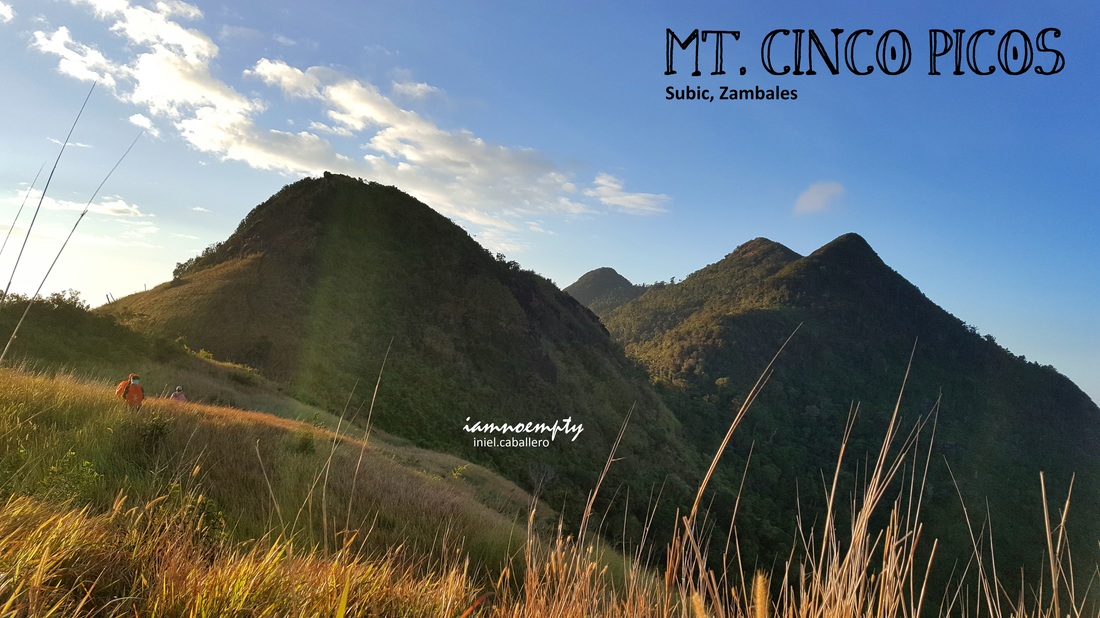
  This was my third in Cinco Picos. During the second time, I was in the impression that we reached all three peaks... it was a lie, until today.
Just a few weeks ago, one team took a brave step to establish a trail connecting Peak 4 to Peak 5 and later found out that there are 2 more peaks hidden after Peak 5. Big Salute to this team, these said peaks are now accessible to all hikers who wishes to add more thrill to the usual 2-3 peaks hike.
2 Comments
 MounTREEneering MounTREEneering
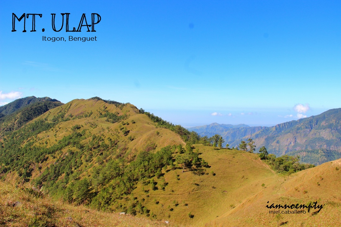
Mt. Ulap is located in Barangay Ampucao, Itogon Benguet. The said mountain has been visited by several hikers as well as locals however the trail was officially launched by the municipality of Itogon last October 31, 2015.
Mt. Ulap has been documented as the highest peak among the seven peaks in Ampucao Ridge. The ridge is more popularly known as Philex Ridge, named after the biggest mining company in Itogon. To reach Ampucao, from Baguio a terminal is located in Lakandula St. (At the back of Jollibee - Magsaysay). 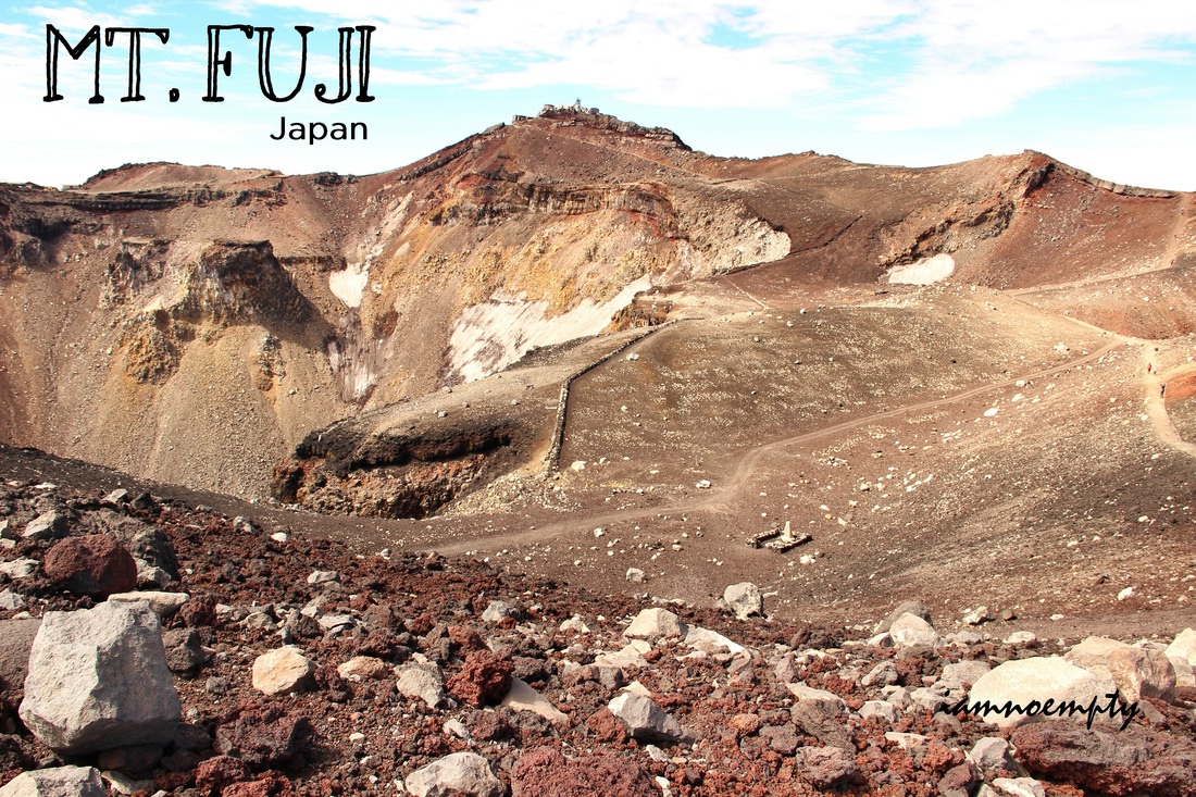
 Yushida Trail - 5th Station Yushida Trail - 5th StationSouvenir Shop
East Asian Trilogy
1. Mt. Kinabalu (4,095 m) - Malaysia | 2. Mt. Yushan (3,952 m) - Taiwan (Done) | 3. Mt. Fuji (3,776 m) - Japan (Done) Mt. Fuji is the highest mountain in Japan and is open for hikers during summer only, around August - September. The team opted to use the "Bullet Climb" strategy due to time contraint (pero nagtitipid talaga kami sa gastos) and started hiking around 10.30PM. Our entry point was in Yushida Trail. As describe by many, this is the so called Tourist trail. Iba pala ang description nila sa Tourist trail, akala ko ala Ambangeg trail ng Pulag... Aba'y panay assault eto, kapagod. Parang nagAkiki lang na puro bato. 

I was seeing a very lazy weekend ahead while browsing my Facebook albums and realized that its been a year since I accomplished Mt. Apo day hike traverse then I remembered that I always wanted to try Mt. Pulag day hike traverse. Googled Lagataw's blog article about his experienced to serve as my guide.
Going to Baguio is a challenge if you purchase your bus ticket on the day of your departure, instead I booked mine two days ahead and was able to secure a 1:00am trip, good enough since I was scheduled to end my work around 9:00pm. I have been in and out of Baguio and mastered the art of ignoring the long trip, sleep all the way. Typically, when hiking to Pulag either Ambangeg or Akiki, a rented jeep from Baguio to DENR is prearranged however in my case a regular commute was a challenge. Oh by the way, I was doing this traverse alone (but with guide of course) 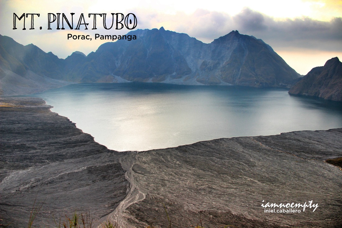
 The View! Sa wakas The View! Sa wakas
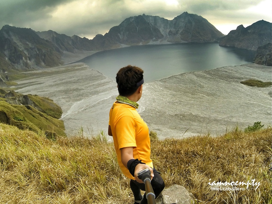
Delta 5 trail is one of the known trail leading to Mt. Pinatubo's crater, it is also the most challenging known trail so far. The jump off point is at Barangay Pidpid in Porac Pampanga.
Just a history, I had 2 attempts made to reach the crater via Sapang Uwak - Miyamit Trail (another known trail, quite technical and a long hike). First attempt was 95% successful, I reached the highest point but got no clearing (you may read my entry HERE ) while my second attempt ended up to Miyamit summit only. My eagerness to take a peek on this magnificent nightmare-turned-beauty brought me back in the area. 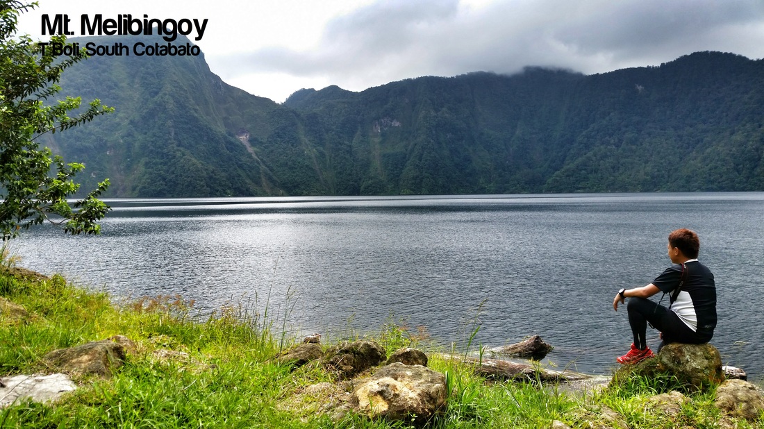
 PACKERS Team at the Jump Off PACKERS Team at the Jump Off
It's been a dream of mine to set foot on this mountain specially this lake. Lake Holon (Formerlu known as Lake Maughan) is a crater lake, believed was created during its 1641 eruption of Mt. Melibengoy.
After our day tour at Lake Sebu and its Seven Falls, we headed to our first mountain the next day. Traveling from T'Boli municipal hall to JOP was already a pure challenge, it was about an hour of habal habal ride along around 40+ kilometers (just a pure guess) from T'boli municipal hall to Lake Holon registration area in Brgy. Salacafe. 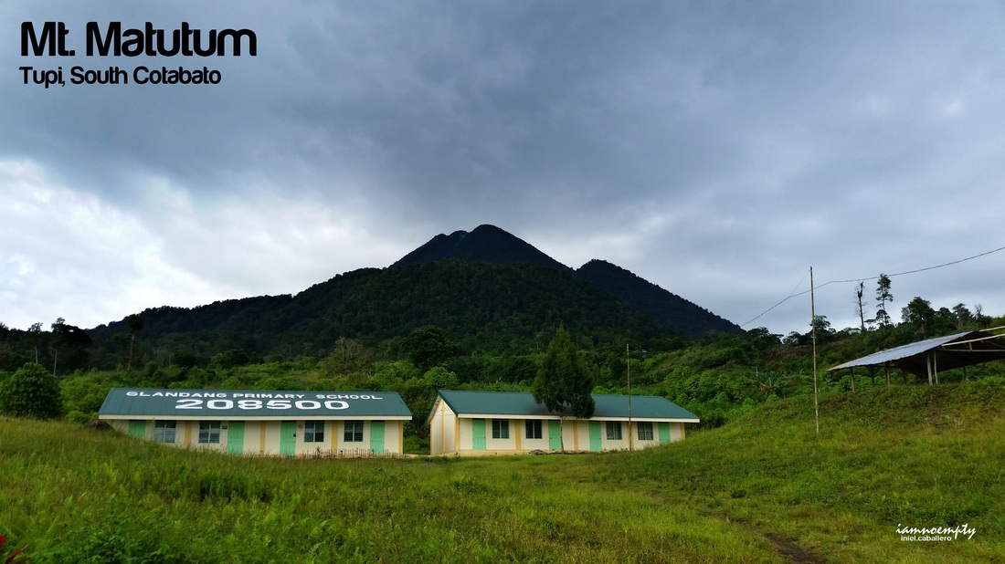 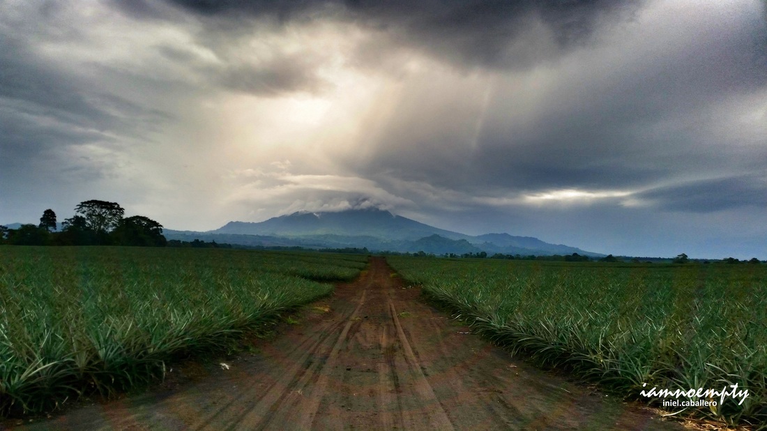 Mt. Matutum is an active volcano, located in Tupi South Cotabato. Its cone shape like is a perfect back draft from this vast pineapple plantation as seen in the highway of Tupi.
This mountain is within a protected landscape does securing permit is necessary from DENR-TUPI. Reaching the jumpoff requires a 30 - 45 minutes of habal-habal ride within the vast pineapple plantation. You will never get bored during the travel because the view within the plantation is a feast. 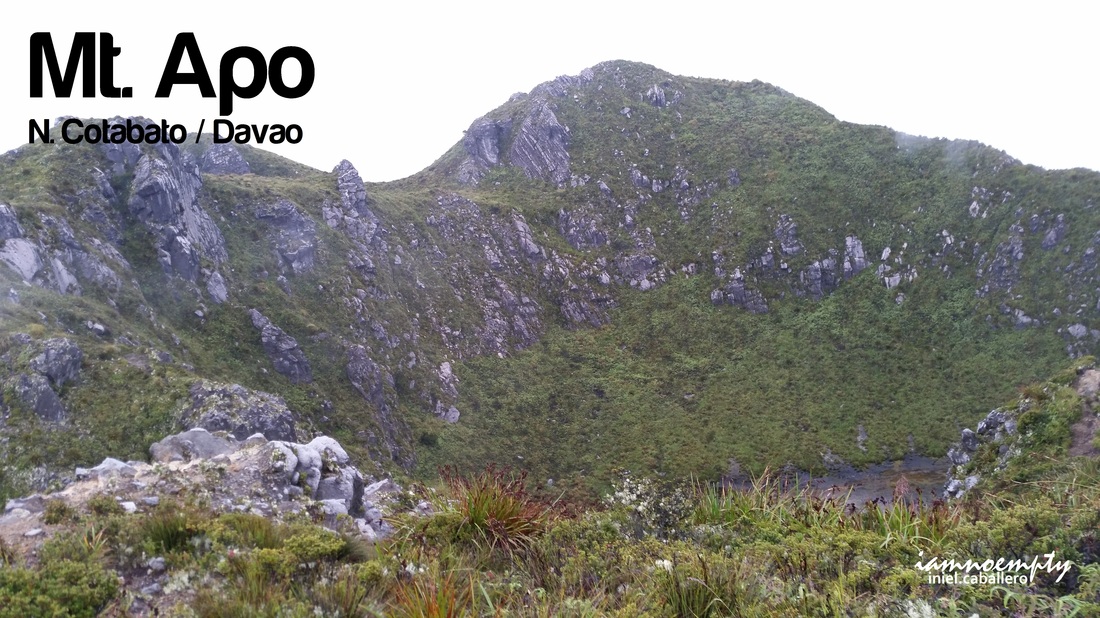
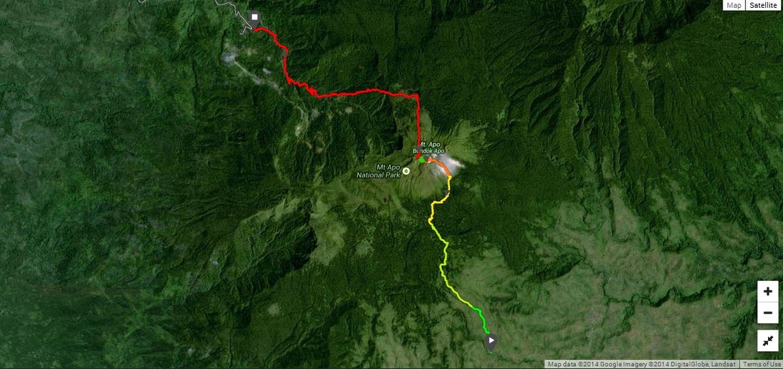
I was informed that Mt. Apo can be traverse in one day however my urge to pursue such hike came into reality after a friend saw my comment on Lagataw's article about his experience.
His article became my basis on what to and how to prepare for this dayhike. A week before the climb, we had some fast paced Nasugbu Trilogy and luckily a week prior to that I was in Halcon, it was an additional training climb for me though. 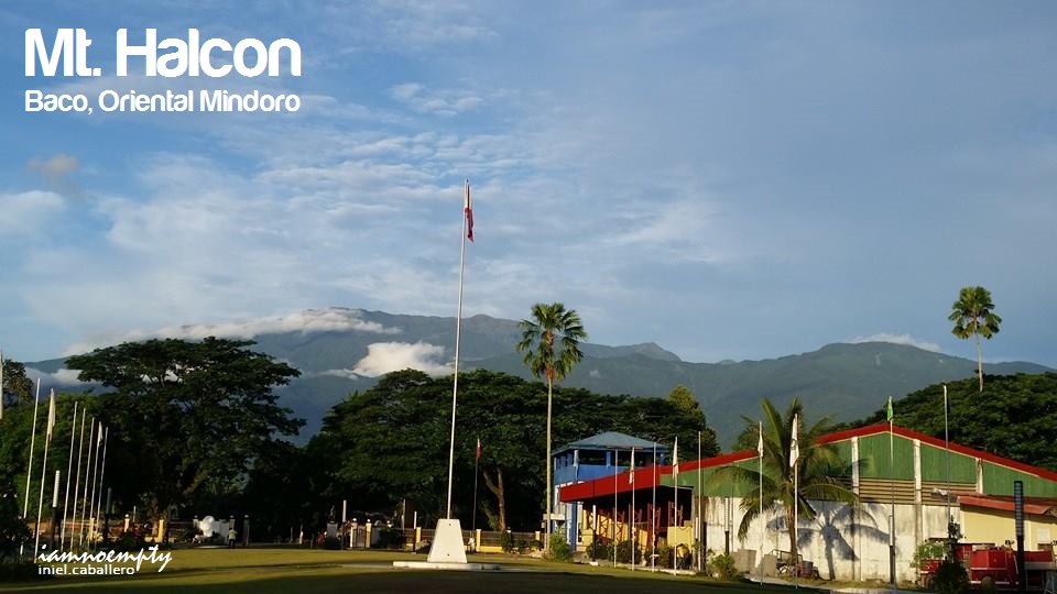 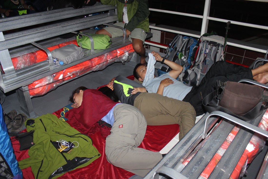 Trying to get some sleep Trying to get some sleepSuperCat When Mt. Halcon was opened again to public last year, everyone in the mountaineering community was celebrating. A series of scheduled events left and right were conducted, "selfies" and "group pics" from the famous Diving Board were posted on almost mountaineering pages in Facebook. It was a big thing when Halcon was again "up for grab".
The group I was with (PACKERS Mountaineering) has been securing permit for a quite some time until we got the go signal last May 23. Halcon, as we know, is one of the 3 toughest mountains to hike in the Philippines. 2 lives (as publicly announced) were already taken by this mountain and Its slopes have earned it the title to be the most difficult mountain to climb in the country as per Wikipedia. 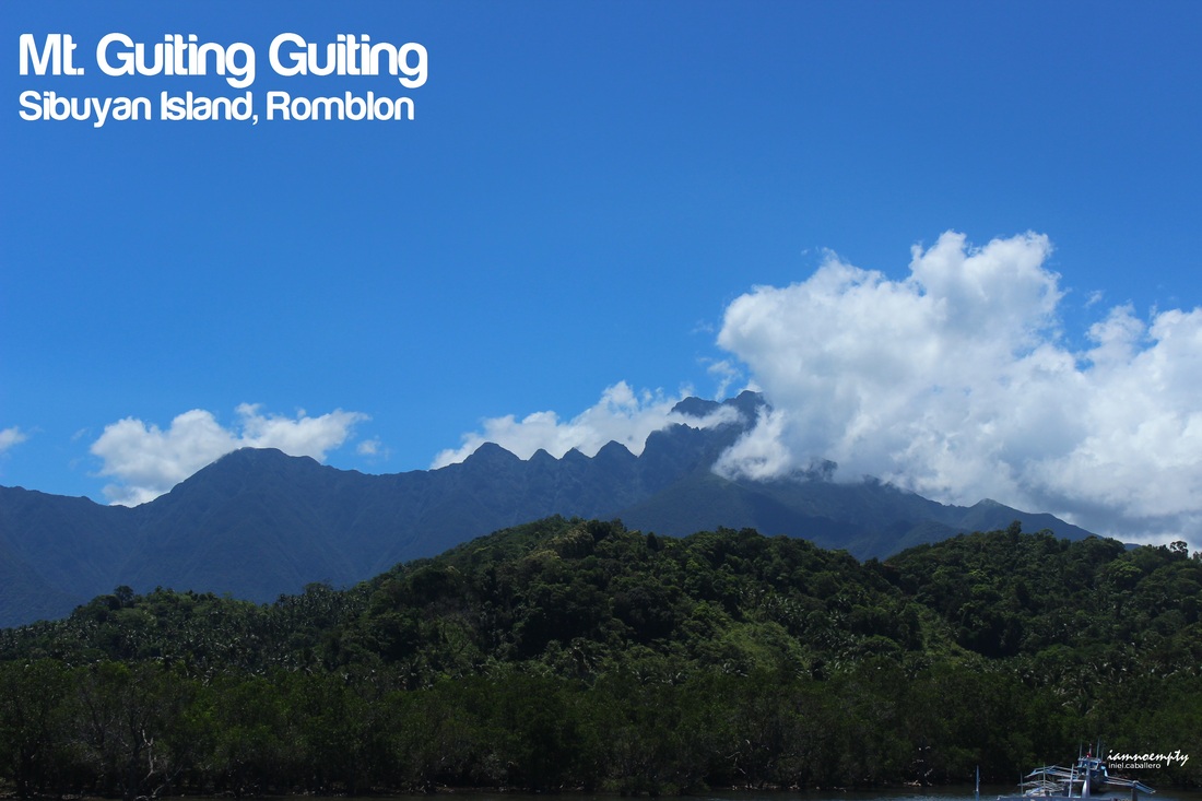
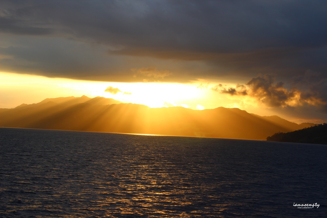 Sunrise at Romblon Sunrise at Romblonraw photos, no filter
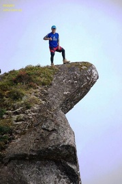
Dubbed as one of the 3 Toughest mountain in the Philippines (Mt. Mantalingajan, Mt. Halcon, Mt. Guiting Guiting), this mountain is also popularly known as G2 to Hiking Community and due to its "jagged" feature is where the name Guiting Guiting was derived.
I had the opportunity to traverse this mountain in 15hours last April 5 because of time constrain, I need to shorten everything because traveling alone going to the island consumes at least a day. Day -1 was travel time from Manila - Batangas - Odiongan - Romblon - Sibuyan - while Day 0 was registration at DENR and brief orientation at Mang Remy's house. |
This is my blog...
My Diary..... Travel... Climb... Swim..... My Adventures in Words Archive
February 2016
Mountains
All
Social Media Activities Instagram: @iamnoempty

Travel & Leisure |
