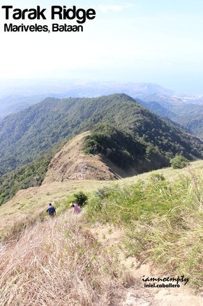
It was during the Habagat incident of 2012 when I had my first attempt to reach the well known Tarak Ridge in Bataan. Continuous rain for 2 days hindered us from reaching the summit and Papaya River was then our playground for 2 days.
A "revenge" climb was then planned however it did not materialized. 9 months after, this ridge became my first training climb activity in preparation for Mt. Mantalingajan Traverse. Tarak was not part of the list of possible training climbs however it topped out the options I had when I learned that this ridge can be traversed. So I took a bus routed to Alas Asin, Batangas thinking that in case I cannot find any Guide (only few guides knew the traverse trail) I will proceed via the traditional trail.
6 Comments
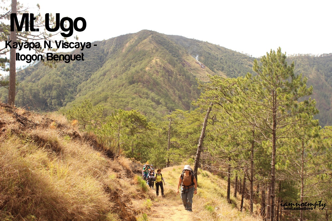  Recently, Mt. Ugo became a venue for trail run activities. Blogs described the trail as "long and winding road" where tall pine trees offers it shades to every hikers. Today, PACKERS with friends set off to accomplish the said traverse. The group was divided into two, 10 pax left Manila around 9:00 Friday night while Sir Erwin and I left Manila at exactly 6:30 Saturday morning. 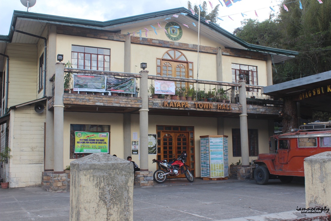 For day 1, Team's target was to reach the School at Domolpos Village where we will camp for the night and since Sir Erwin and I started the hike late, we need to reach the school before night time.
After 6 hours and 31 minutes we reached Bambang, Nueva Vizcaya. From here a Van will route commuters going Kayapa, the Jumpoff for the said climb. We reached Kayapa around 2:32 pm and was greeted by our guide. Had a courtesy call and registered at the Brgy. Hall then ate our late Brunch and at exactly 3:00pm the hike started.
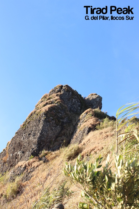
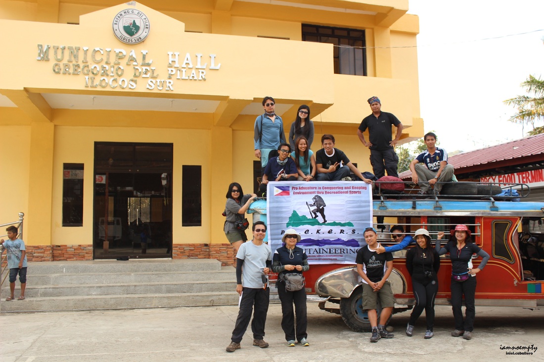 Another 1 hour after some bumpy, zigzag, mini river cross rode trip we finally reached the jump off. For day 1 our target was to reach the Tirad Shrine which will serve as the camp site for the team. Trekking all the way up was not just fun but also educational. From time to time you'll be seeing some famous lines qouted from well known people. 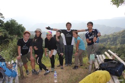 The National Park Authorities also provides indicators on spots vital to Philippine history like the Site where the Battle of Tirad Pass took place, Gilbert Rock, The spot where Gen. Gregorio del Pilar was shot and the likes.
The trail heading to the Tirad Shrine has a gradual ascend, covered with trees and you'll see Nipa huts for resting. It took as 2 hours to reach the shrine, everyone were so busy clicking those camera on every historical spots for some souvenier shots. 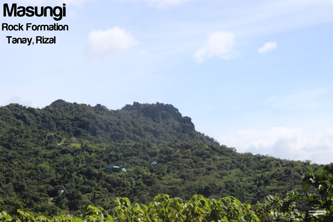  A chill climb to start my 2013 series of climbs ... I have few entries about Masungi in the past however this time me and PACKERS were all set for the Summit of Masungi Rock Formation.
The summit is located inside a private property thus reaching it requires permission. Although Tanay Rizal Tourism Dept. declares the said summit as one of the tourist destination within Tanay, negotiation between the owner and the local government is still on going before opening the site to public. Luckily, a member of PACKERS knew the owner of the place and we were permitted to enter the area. A member for the Security group served as tour guide as well. He gave us brief background about the place, the history and future projects of the area. From the Gate to the summit, it would take about 45mins to an hour. Several upward slopes along the trail before reaching the base thus exhausting. 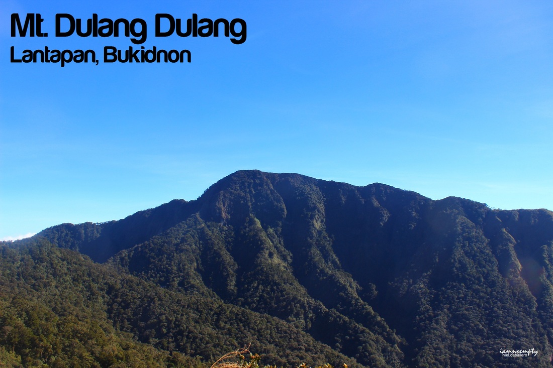  @ Malaybalay Park @ Malaybalay Park To end 2012, the year where I accomplished solo hikes, few traverses, major climbs and dream mountains, I chose Mt. Dulang dulang - Mt. Kitanglad traverse as my year end climb. Scheduled during my holiday break in Cagayan de Oro, I could say this was the best Holiday vacation so far. Spent time with my family and squeezed a day for myself. So what made me choose D2K (Dulang Dulang - Kitanglad)? I've been following a blogger who loves Bukidnon Mountains so much that she usually visits the place from time to time, Ms. Tin-tin of Nagbabasang Pinoy. She was my inspiration....  First Avenue Inn First Avenue Inn Day 00 was a whole day stay at Malaybalay Bukidnon. My guide, Sir Ben recommended that I have to stay at Malaybalay prior the climb proper to have enough sleep which was a very good idea because the next day was knee pounding trek.
I roamed around the city for a quick tour, visited the St. Thaddeus church and stayed for an hour at the park observing the locals around. For final preparation, I went to Gaisano mall for trail food and packed lunch for the next day and then met Sir Ben for the final briefing. Sir Benjamin "Ben" Maputi is a very busy person. His business is tied up with DENR. He co-owns a Nature Park (Mt. Kitanglad Agri-Ecological Techno Demo Center) and spearhead all projects of DENR for Kitanglad Range, all trails leading to every mountains he knows it by heart. After the very very short briefing, he called up a hostel (First Avenue Inn) and reserved a room for me. The place was clean and the staff were accommodating, I would say a perfect place to stay for backpackers. 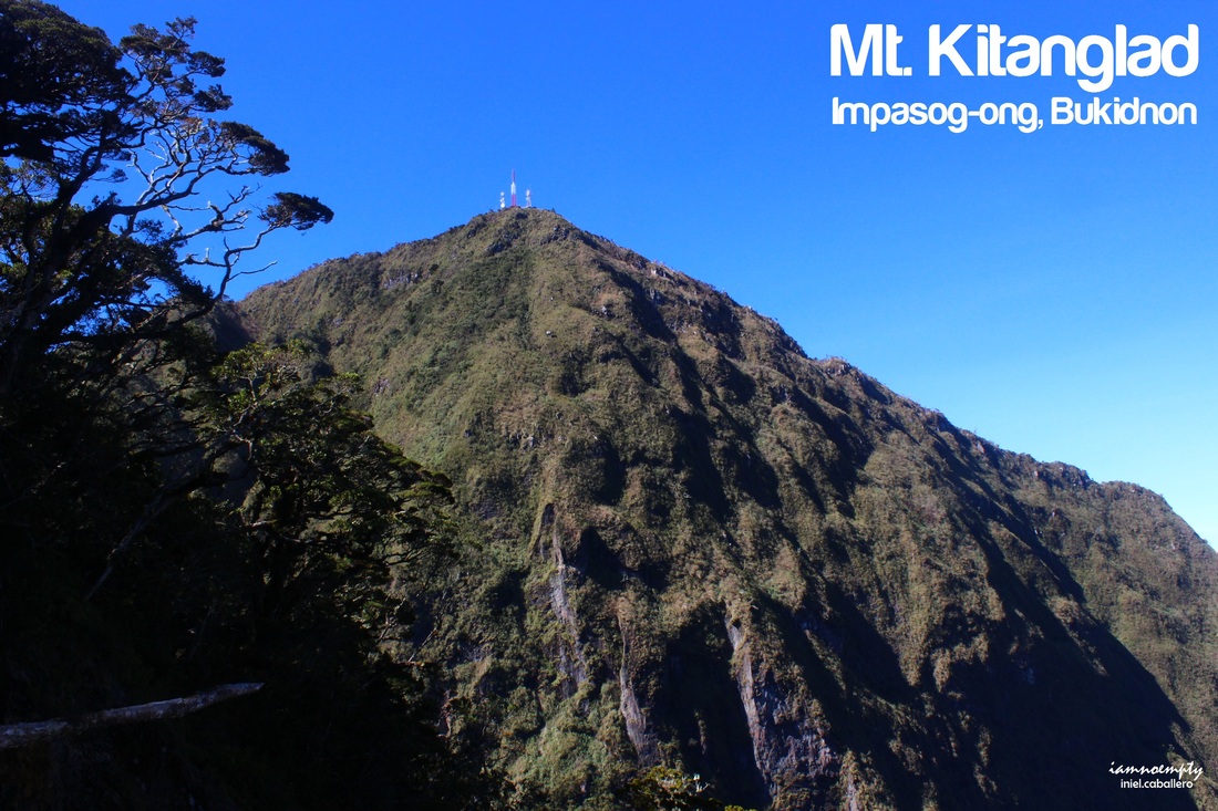 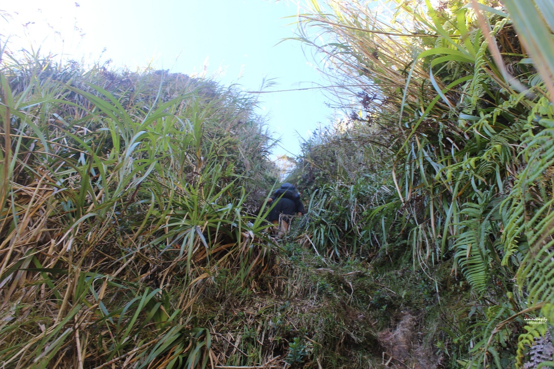 Kiss the wall Scrambling all the way up.... looking up for some roots to hold.... securing every steps I took.... It was scary.. seriously it was a 90 degree wall not made of stone but of soil.... I was lucky it did not rain prior my climb or else..... I believe this was the portion were rope was needed. Sir Ben then greeted me "Congrats, you made it"... smiling while waiting near a bonsai tree.... Grabbed the last root then positioned myself on a small open space.... took a very deep breath.... Thank God I made it.... I'm alive!!! woot woot....... now I am very close to the summit of Mt. Kitanglad, this traverse is almost over.  Summit Mt. Dulang dulang at the background Ending the traversed, we were greeted by another Guide accompanying 2 mountaineers who stayed at Mt. Kitanglad. Mt. Kitanglad's summit is occupied with several telecommunication towers. A bunker can be used at the summit for hikers/mountaineers thus tents are no longer needed, I am not sure though if there are open spaces to pitch your tent somewhere. Freezing cold despite the Sun was shinning brightly that day, we opted not to stay longer. Few photo ops were taken then started descend around 3:45pm. Along the trail we met 12 mountaineers and one of them noticed my shirt and called my attention, he knew PACKERS and asked where are the rest of the team? I smiled and said it was a Solo climb. 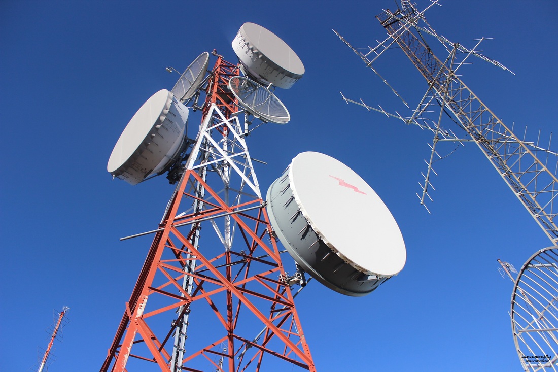 Bid farewell to their group, me and Sir Ben then started running. Eto na! magtratrail run na kami... and it was a very difficult descend-trail-run because some parts of Kitanglad Trail has steel ladders. These ladders were installed to fill the gaps which were mostly cliffs, some were just to high. Mt. Kitanglad was greatly affected by the recent Typhoon Pablo and the aftermath can be seen every where. There were trees uprooted which mostly hid the trail. These huge trunks blocking the trail caused us delay, we then need to crawl or hop from one uprooted tree to another and some areas were in complete mess. 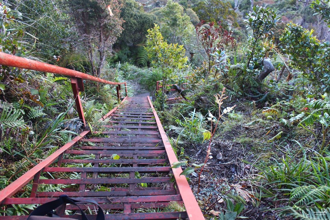 With this wreck, I was not able to appreciate the beauty of Kitanglad. Since these trees no longer offered shades, mosses and lichens were all dried out.... dying.... died. Such a dismay seeing the beauty as it fades away.. Over all, Kitanglad's trail was moderate to some difficulty thus some times trail run activities were organized and held in the area.  Success : Solo D2K Dayhike Traverse We reached Kitanglad's Jump off point, where Sir Ben's pick up was waiting, around 6.40pm. It was full moon at that time when we exited Impasug-ong ........ Watching the outline of the Kitanglad range as it fades.... It was once a dream....came to reality, the happiest 13 hours trek I ever had. Click > Mt. Dulang Dulang Entry.... 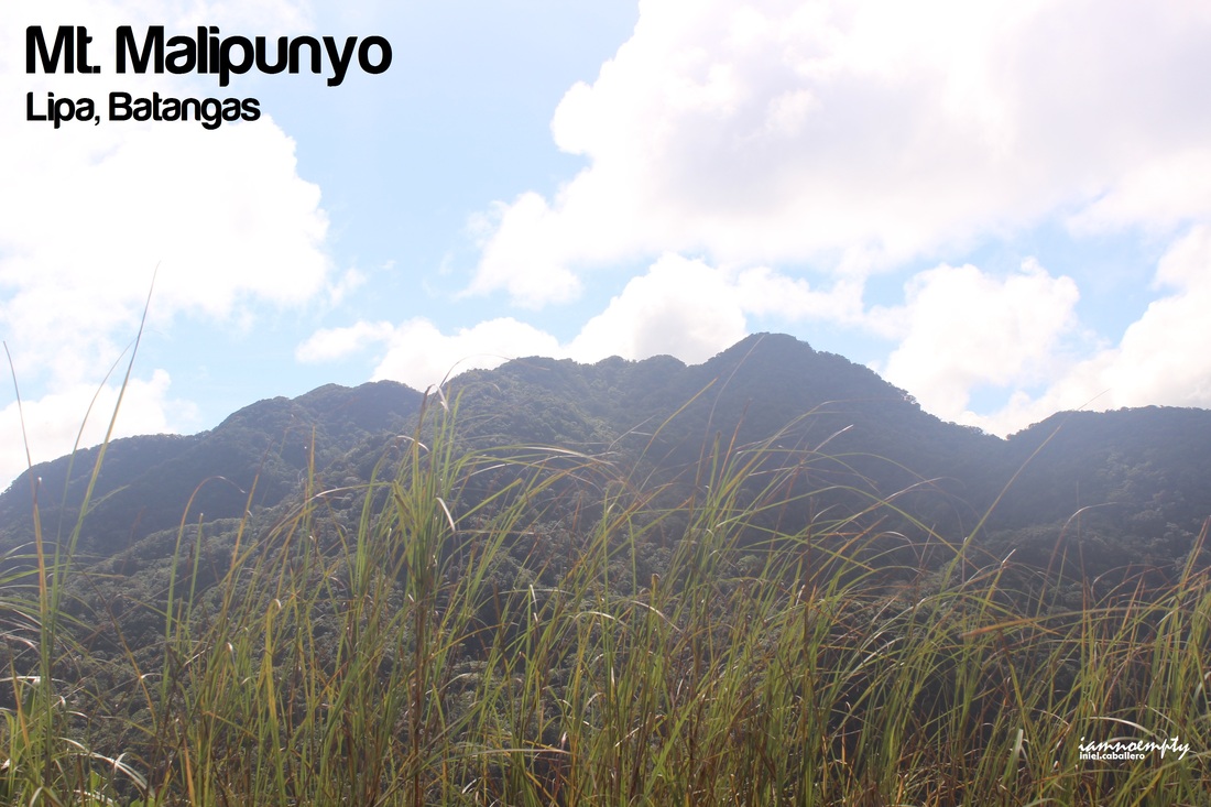  The Fork Ahead - to Malipunyo Back - to Manabu Right - to Susong Dalaga A fork diverge, linking trails to Mt. Manabu, Mt. Susong Dalaga and Mt. Malipunyo.
Our next stop was Mt. Malipunyo, twice the fun, twice the distance. Unlike Susong Dalaga, reaching the summit requires passing a series of peaks and ridges. After a fast paced descent (kasi karamihan sumemplang) from Susong Dalaga, Tatay Mokring (Our Guide) invited us to his rest house, we took our lunch and ate some banana from Tatay's Mokring garden.  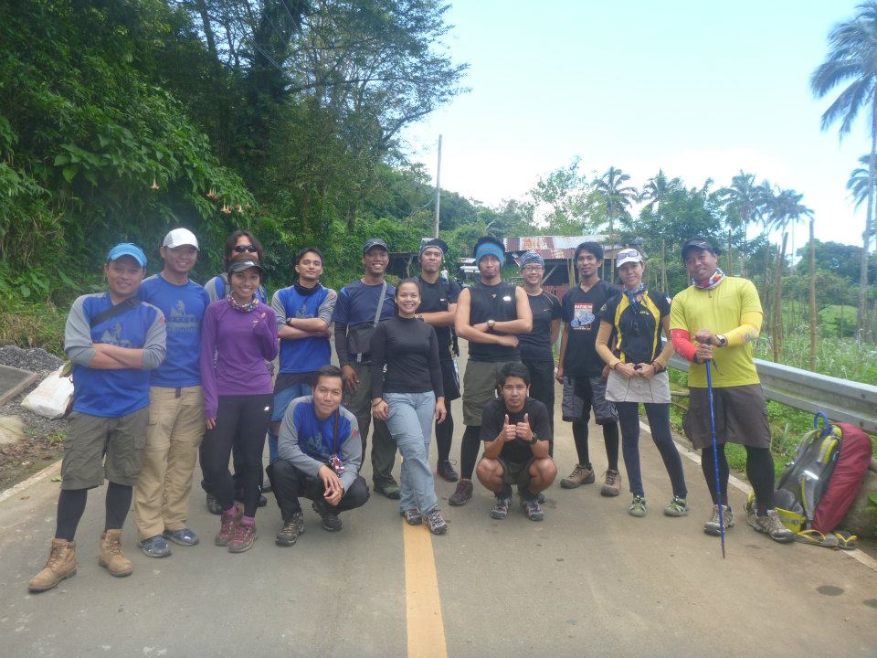 2 Teams, 1 Mountain 2 Teams, 1 MountainPhoto © PACKERS Mt. Banahaw is still closed for hikers and mountaineers however a permit is given if a Climb organized has a purpose, like Clean up drive, Tree planting and the like. Luckily, PACKERS got invited by Sir Onin's Team.
Our entry point was at Brgy. Luquin, San Pablo City and the first half of the trail was more of gradual terrain and from time to time we passed by some farm. 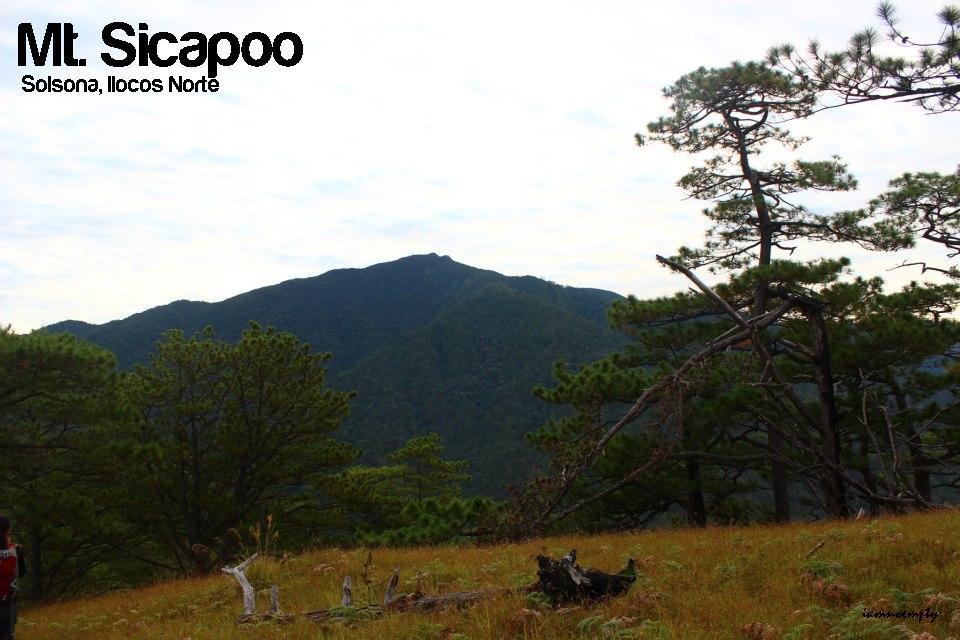 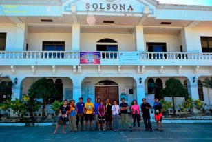 My first 9/9 (Difficulty Level) mountain... The greatest challenge encountered in this so called Mountaineering life of mine. Mt. Guiting Guiting (G2) is where my mind was set to be the first 9/9 mountain I will climb however failure to join the G2 Dayhike set by PACKERS, my dream went astray. Bumped to this video posted in FB, Mt. Sicapoo became my Target. I shared the video and got some positive reactions and confirmations from my friends online..... exchange insights...... several preclimbs......then we're ready to take the challenge.  November 1 - 4 were the days when 12 of us faced the challenge, 11 were able to reach the summit, 9 reached the Penguins Peak.
Day 1 of our Itinerary went haywire when Sir Chong didn't make it to the 8:00pm departure and left Manila around 11.30 instead. We had the entire first half of the day roaming around the City. Took pictures of the Sinking Bell Tower, once an old Red Cross building turn to SM Hypermarket and the Provincial Hall. 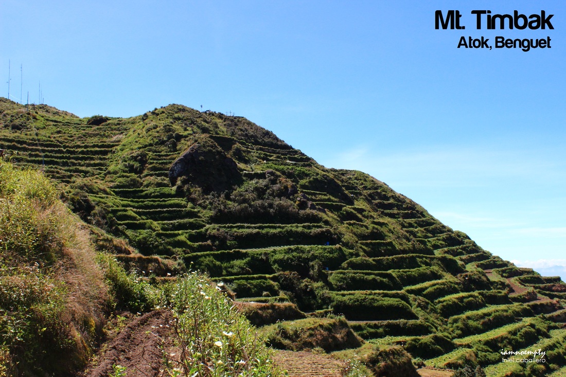 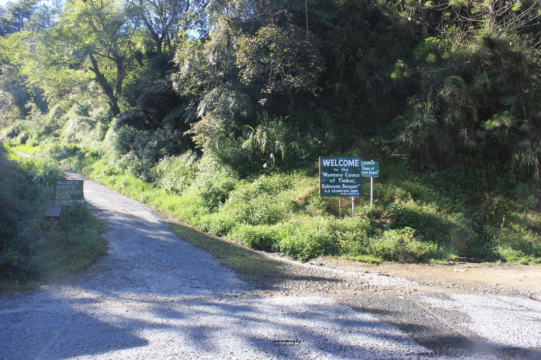 KM 55 At last, I was able to encourage Lakwacherang Pilipina to join me on one of my treks..... after promising that this trek would be a very easy and light one. :) (Read her side of the Story HERE ) Though the travel part (Manila to Baguio to Atok, Benguet) consumed a lot of time but spending it with a friend...... Fun! Reaching Jump off (KM 55, Atok Benguet) would require an earlier departure from Baguio City. Ride a taxi or Jeep that will bring you to GL-Lizardo Bus Terminal. A 2 hours travel from Baguio to KM 55 will not bore you due to some postcard-scenic during the travel. Seriously, people up North are lucky. By the way, just remind the bus conductor or driver that you'll be off to KM 55. 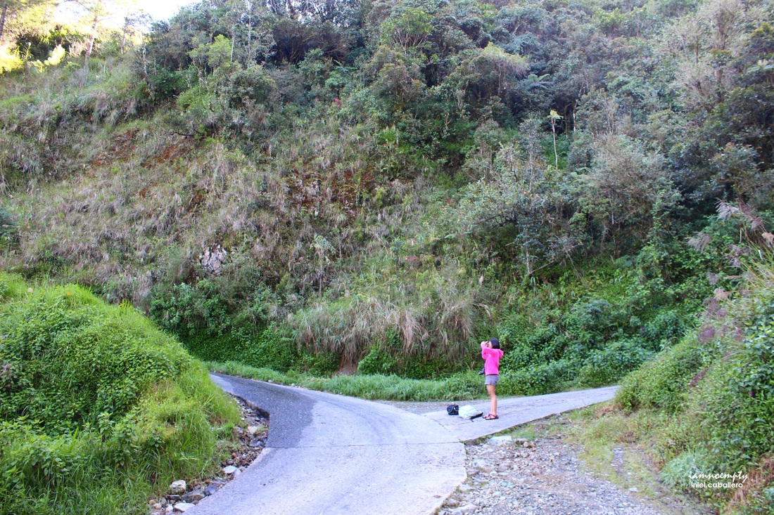 Lkwacherang Pilipina @ first fork On the right side of the road, you'll see the KM 55 marker and a signage "Welcome to Mummy Caves of Timbac" thus makes our jumpoff point.
The trail is basically easy, all you need to do is follow the cemented road. (Vegetation are abundant near the summit thus trucks and small vehicles needs a well paved road). What I loved about the trek was even though from jump off to summit we were totally exposed to Mr. Sun, the breeze..... the cool breeze of Benguet....aaahhh... sarap. In every fork you'll see on the trail, always keep left until you passed Mongoto Elementary School. Few meters ahead the school another fork will be seen, choose the slope path to the right as this will lead you to summit. The road straight ahead will lead you to the Mummy Cave. |
This is my blog...
My Diary..... Travel... Climb... Swim..... My Adventures in Words Archive
February 2016
Mountains
All
Social Media Activities Instagram: @iamnoempty

Travel & Leisure |